Medium airport · Zimbabwe

Josiah Tungamirai Air Force BaseFVTL
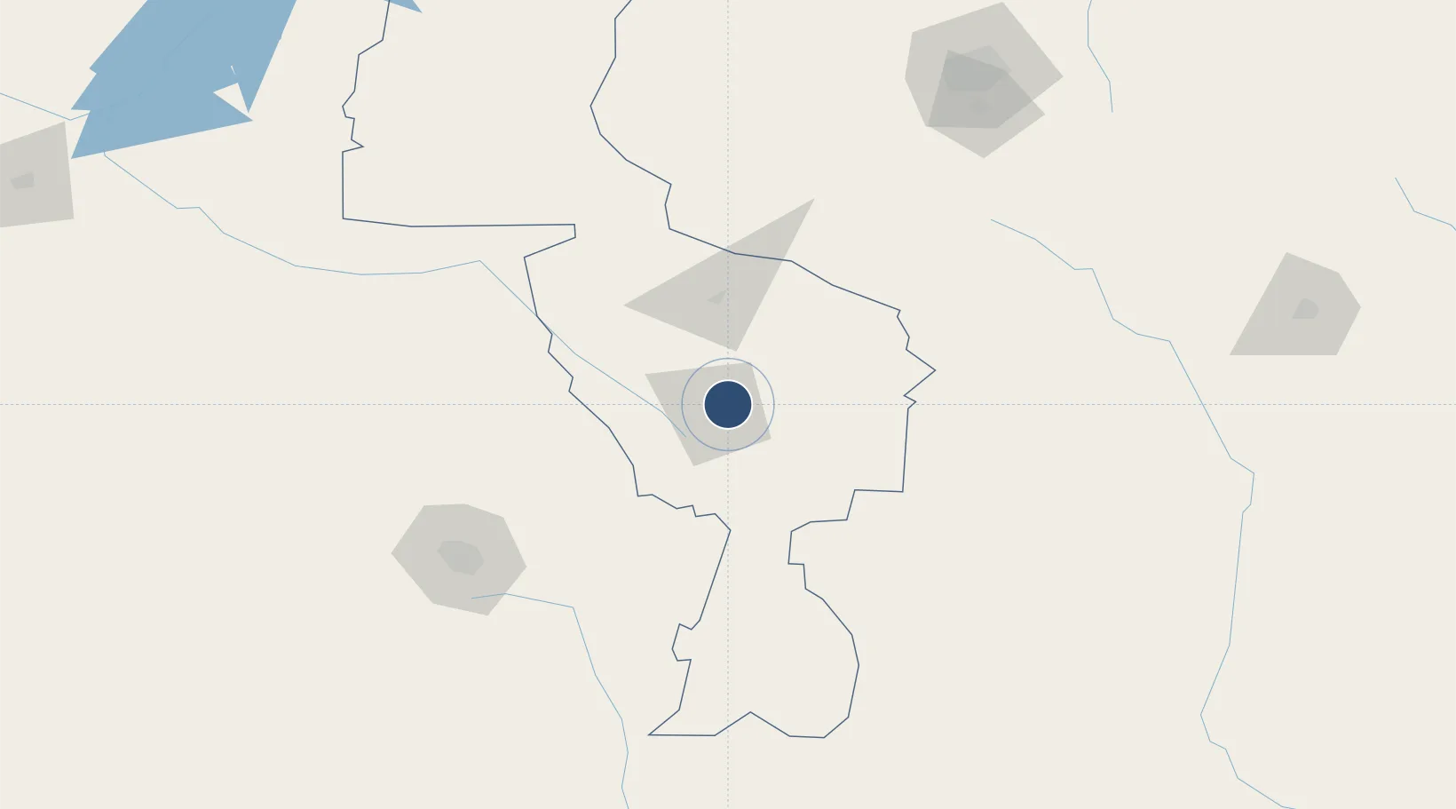
-19.4367°, 29.8619°
8,766 ft
Longest runway
1
Runways
4,680 ft
Elevation

Runway & Layout

Josiah Tungamirai Air Force Base runway & taxiway layout
Runway & taxiway layout — OpenStreetMap (ODbL) / OurAirports

Radio Frequencies

TWR
123.5 MHz
THORNHILL TWR
APP
126.5 MHz
THORNHILL APP
OurAirports

Navaids

TI NDB Gweru Thornhill 278 kHz
TL NDB Gweru Thornhill 213 kHz
TO NDB Gweru Thornhill 268 kHz
VTL VOR-DME Gweru Thornhill 114.30 MHz
OurAirports

Runways · 1

RunwayDimensions SurfaceTrue headingLit
13L/31R 8,766 × 100ft Asphalt 116°
OurAirports

Airport Specifications

IATA code
GWE
OurAirports
ICAO code
FVTL
OurAirports
Airport class
Medium airport
OurAirports
Scheduled service
No
OurAirports
Runway surface
Asphalt
OurAirports
Served city
Gweru
OurAirports

Location

Location of FVTL
Natural Earth 10m (public domain) · Midlands · FVTL · -19.44, 29.86GoogleOSMYandex

Nearby Logistics Neighbours

Airports
  1. 1Masvingo International Airport125 km
  2. 2Joshua Mqabuko Nkomo International Airport145 km
  3. 3Robert Gabriel Mugabe International Airport212 km
  4. 4Buffalo Range Airport250 km
  5. 5Hwange National Park Airport312 km
Nearest neighbours — logibook spatial index (haversine) over the source coordinates
Cities
  1. 1Filabusi136 km
  2. 2Zimbabwe144 km
  3. 3Chegutu148 km
  4. 4Gokwe167 km
  5. 5Gwanda189 km
Nearest neighbours — logibook spatial index (haversine) over the source coordinates
Ports
  1. 1Beira523 km
  2. 2Chinde705 km
  3. 3Inhambane759 km
  4. 4Quelimane760 km
  5. 5Maputo776 km
Nearest neighbours — logibook spatial index (haversine) over the source coordinates
DatabookThe Record of Consolidated Knowledge
Zimbabwe beyond logistics?
Browse databook

All Sources

AirportsOurAirports
Public domain
Portsthe NGA World Port Index
Public domain (US gov)
LocationsUN/LOCODE
UN/LOCODE — free
Trade Zonesthe World Bank SEZ database
CC BY 4.0
Trade ZonesOpen Zone Map
CC BY
InfrastructureOpenStreetMap
ODbL 1.0
← Zimbabwe airports