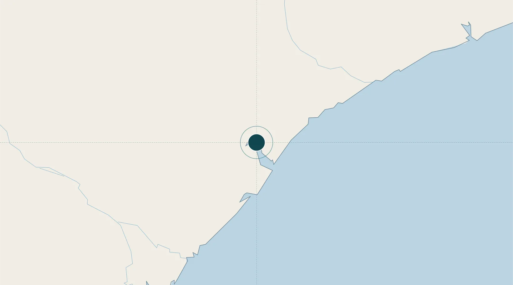
Seaport · Mozambique
QuelimaneMZUEL
-17.8833°, 36.8833°
3.4 m
Channel depth
8.6
Port liner connectivity
Channel & Berth Profile
Pilotage, Tugs & Services
Pilotage compulsoryYES
Pilotage advisableYES
Tug assistanceNO
Shore powerYES
Potable waterYES
Diesel bunkersNO
MedicalYES
Facilities & Capabilities
Container—
Ro-Ro—
Liquid bulk—
Dry bulk—
Oil terminal—
Break bulk—
Dry dock—
RepairsNO
BunkeringYES
Rail linkYES
Dangerous cargo—
ISPS security—
Harbour Specifications
Harbour size
Very Small
Harbour type
River (Natural)
Shelter
Good
Water body
Mozambique Channel; Indian Ocean
Tidal range
2 m
Pilotage
Yes
Liner Connectivity
8.6
PLSCI
Port Liner Shipping Connectivity Index for Quelimane, as published by UNCTAD for the latest available quarter. Higher values indicate stronger scheduled liner-shipping integration.
Shown relative to the highest per-port PLSCI in the dataset (1,657.9).
Location
Nearby Logistics Neighbours
Ports
- 1Porto Belo38 km
- 2Chinde86 km
- 3Pebane151 km
- 4Beira306 km
- 5Mocambique519 km
Airports
- 1Quelimane Airport3 km
- 2Beira International Airport298 km
- 3Chileka International Airport319 km
- 4Chimoio Airport391 km
- 5Tete Airport398 km
Trade Zones
DatabookThe Record of Consolidated Knowledge
Mozambique beyond logistics?