Transport Functions
Multimodal
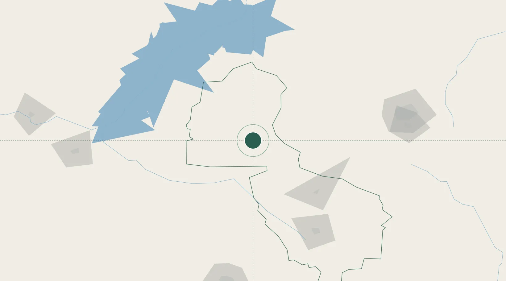
Hub Profile
Place type
Populated place
Region
Midlands Province
Population
33,073
Time zone
Africa/Harare
Elevation
1,237 m
Location
Nearby Logistics Neighbours
Cities
- 1Chegutu129 km
- 2Siavonga189 km
- 3Norton190 km
- 4Marlborough247 km
- 5Filabusi260 km
Ports
- 1Beira646 km
- 2Chinde799 km
- 3Quelimane841 km
- 4Porto Belo875 km
- 5Inhambane923 km
Airports
DatabookThe Record of Consolidated Knowledge
Zimbabwe beyond logistics?