Specialized Zone · Zimbabwe

Zimbabwe Iron and Steel Co (ZISCO) Special Economic Zone Active
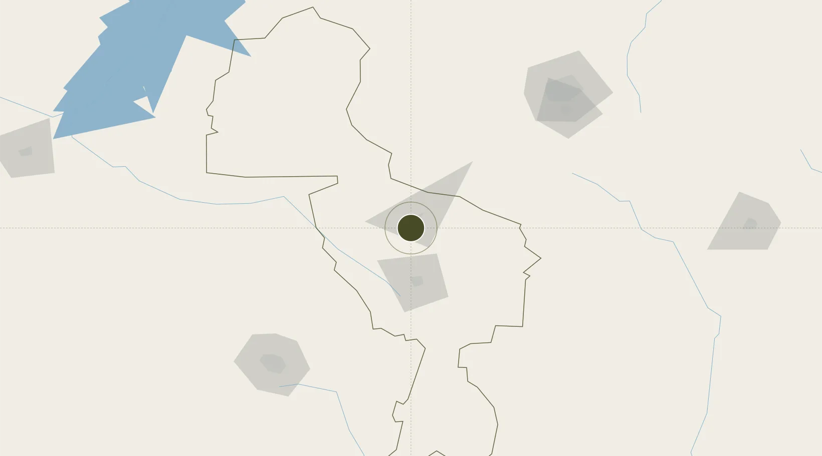
-19.0146°, 29.7517°
700 ha
Zone area
540.6 km
Nearest port
48.3 km
Nearest airport

Gateway access

Nearest neighbours — logibook spatial index (haversine) over the source coordinates

Zone profile

Zone type
Specialized Zone
Open Zone Map
Specialization
Mining
Open Zone Map
Region
Midlands
Open Zone Map
Status
Active
Open Zone Map
Management
Private
Open Zone Map
Operator
Iron Steel Company of Zimbabwe Pvt. Ltd.
Open Zone Map
Legal framework
Zimbabwe Investment and Development Agency Act
Open Zone Map

Location

Location of ozm-5226
Natural Earth 10m (public domain) · Midlands · ozm-5226 · -19.01, 29.75GoogleOSMYandex

Nearby Logistics Neighbours

Ports
  1. 1Beira541 km
  2. 2Chinde712 km
  3. 3Quelimane763 km
  4. 4Porto Belo798 km
  5. 5Inhambane799 km
Nearest neighbours — logibook spatial index (haversine) over the source coordinates
Airports
  1. 1Josiah Tungamirai Air Force Base48 km
  2. 2Joshua Mqabuko Nkomo International Airport163 km
  3. 3Masvingo International Airport164 km
  4. 4Robert Gabriel Mugabe International Airport186 km
  5. 5Hwange National Park Airport291 km
Nearest neighbours — logibook spatial index (haversine) over the source coordinates
Cities
  1. 1Chegutu107 km
  2. 2Gokwe124 km
  3. 3Norton161 km
  4. 4Filabusi176 km
  5. 5Zimbabwe185 km
Nearest neighbours — logibook spatial index (haversine) over the source coordinates
DatabookThe Record of Consolidated Knowledge
Zimbabwe beyond logistics?
Browse databook

All Sources

Trade ZonesOpen Zone Map
CC BY
Portsthe NGA World Port Index
Public domain (US gov)
AirportsOurAirports
Public domain
LocationsUN/LOCODE
UN/LOCODE — free
← Zimbabwe trade zones