Diversified Zone · Vietnam

Phu Tai Industrial Zone Active
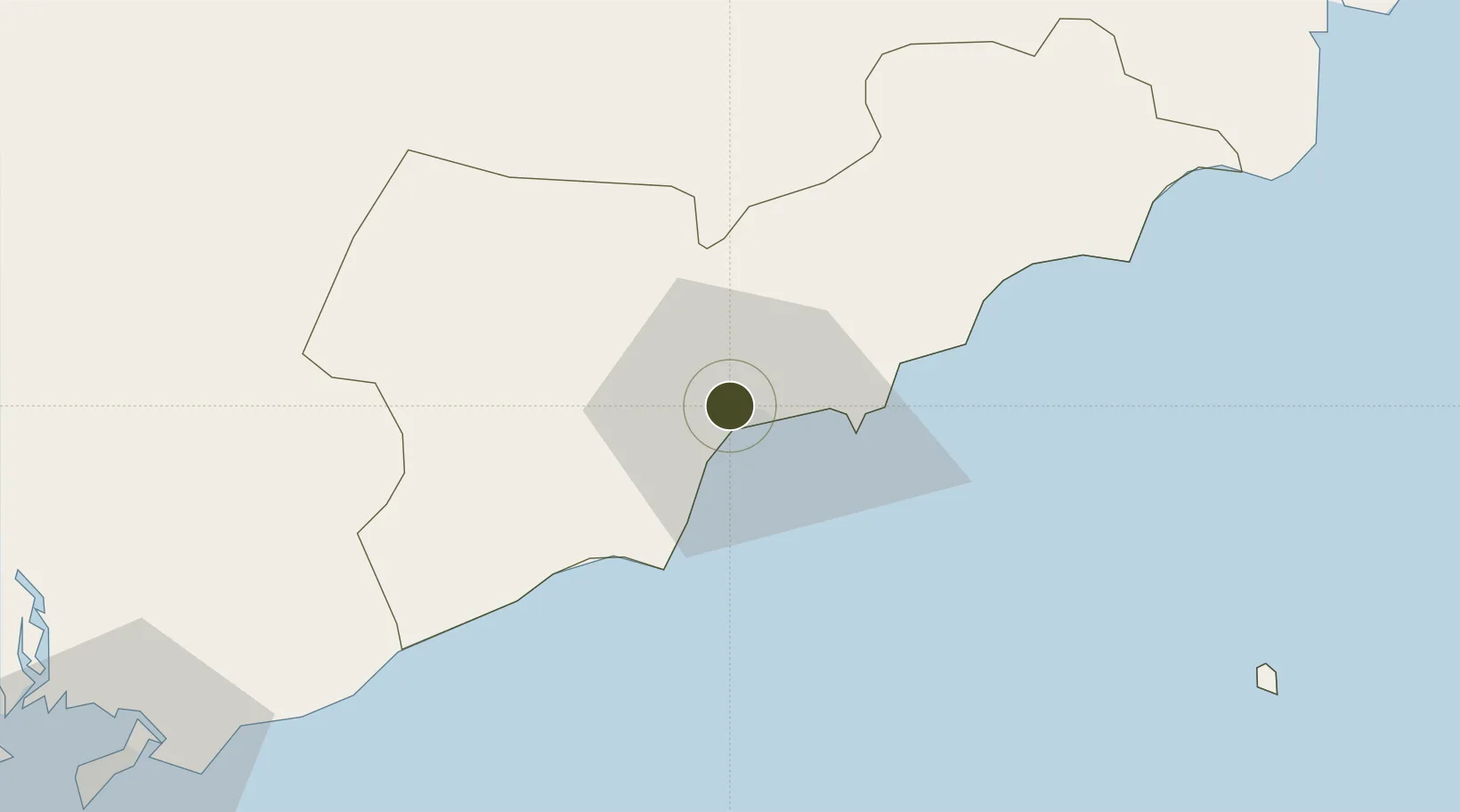
10.9561°, 108.1019°
345 ha
Zone area
123.9 km
Nearest port
92.9 km
Nearest airport

Gateway access

Nearest neighbours — logibook spatial index (haversine) over the source coordinates

Zone profile

Zone type
Diversified Zone
Open Zone Map
Region
Bình Thuận
Open Zone Map
Status
Active
Open Zone Map
Management
Public
Open Zone Map
Operator
Binh Dinh Economic Zone Administration
Open Zone Map
Legal framework
Decree No.82/2018/ND-CP, Decision No. 1127/1998/QD-TTg
Open Zone Map

Location

Location of ozm-5087
Natural Earth 10m (public domain) · Bình Thuận · ozm-5087 · 10.96, 108.10GoogleOSMYandex

Nearby Logistics Neighbours

Ports
  1. 1Phu My124 km
  2. 2Vung Tau134 km
  3. 3Cat Lai146 km
  4. 4Thanh Hoa147 km
  5. 5Thanh Ho Chi Minh153 km
Nearest neighbours — logibook spatial index (haversine) over the source coordinates
Airports
  1. 1Lien Khuong Airport93 km
  2. 2Long Thanh International Airport (Under Construction)118 km
  3. 3Tan Son Nhat International Airport159 km
  4. 4Cam Ranh International Airport / Cam Ranh Air Base168 km
  5. 5Buon Ma Thuot Airport190 km
Nearest neighbours — logibook spatial index (haversine) over the source coordinates
Cities
  1. 1Su Tu Den68 km
  2. 2Long Binh73 km
  3. 3Rang Dong109 km
  4. 4Go Dau A Terminal123 km
  5. 5Go Dau B Terminal124 km
Nearest neighbours — logibook spatial index (haversine) over the source coordinates
Trade Zones
  1. 1Phan Thiet 1 Industrial Zone0 km
  2. 2Phan Thiet 2 Industrial Zone1 km
  3. 3Ham Kiem Industrial Zone10 km
  4. 4Lộc SÆ¡n Industrial Zone69 km
  5. 5Đại Lao Industrial Zone72 km
Nearest neighbours — logibook spatial index (haversine) over the source coordinates
DatabookThe Record of Consolidated Knowledge
Vietnam beyond logistics?
Browse databook

All Sources

Trade ZonesOpen Zone Map
CC BY
Portsthe NGA World Port Index
Public domain (US gov)
AirportsOurAirports
Public domain
LocationsUN/LOCODE
UN/LOCODE — free
← Vietnam trade zones