UN/LOCODE hub · Vietnam
VNSTD

Su Tu Den

10.4167°, 108.4000°
1
Transport functions

Transport Functions

Port
UN/LOCODE

Hub Profile

Region
40
GeoNames

Location

Location of VNSTD
Natural Earth 10m (public domain) · 40 · VNSTD · 10.42, 108.40GoogleOSMYandex

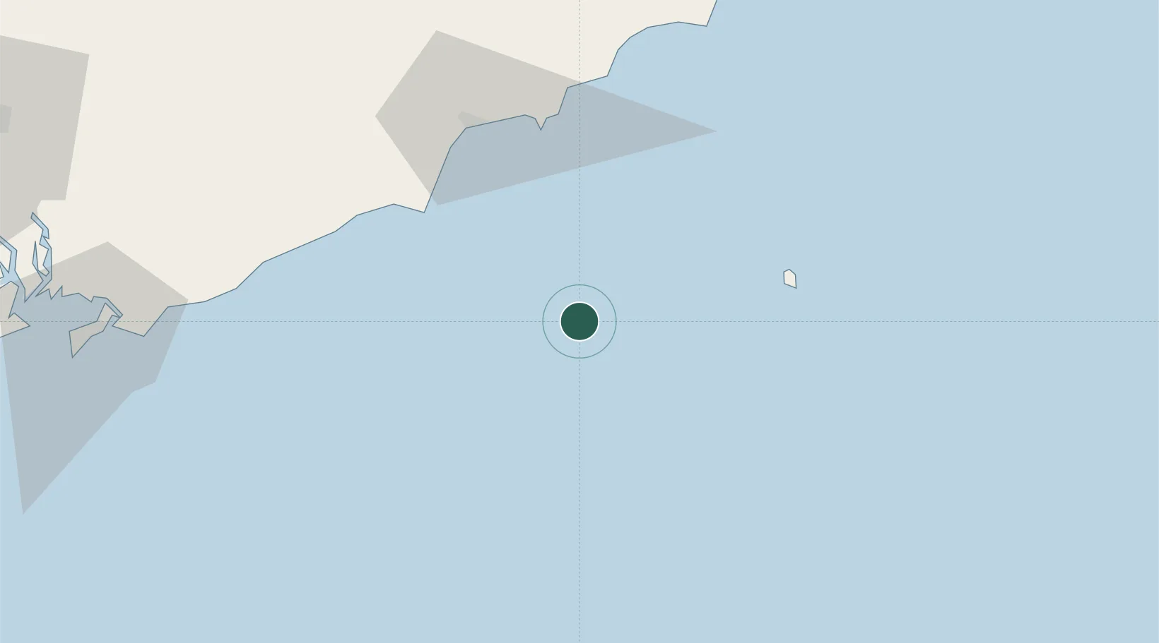
Nearby Logistics Neighbours

Cities
  1. 1Rang Dong47 km
  2. 2Bach Ho78 km
  3. 3Long Binh135 km
  4. 4Dong Xuyen Port142 km
  5. 5Cai Mep151 km
Nearest neighbours — logibook spatial index (haversine) over the source coordinates
Ports
  1. 1Vung Tau146 km
  2. 2Phu My151 km
  3. 3Cat Lai181 km
  4. 4Vinh Cam Ranh183 km
  5. 5Thanh Hoa184 km
Nearest neighbours — logibook spatial index (haversine) over the source coordinates
Airports
  1. 1Lien Khuong Airport148 km
  2. 2Long Thanh International Airport (Under Construction)154 km
  3. 3Tan Son Nhat International Airport196 km
  4. 4Cam Ranh International Airport / Cam Ranh Air Base197 km
  5. 5Buon Ma Thuot Airport252 km
Nearest neighbours — logibook spatial index (haversine) over the source coordinates
Trade Zones
  1. 1Phan Thiet 2 Industrial Zone68 km
  2. 2Phu Tai Industrial Zone68 km
  3. 3Phan Thiet 1 Industrial Zone68 km
  4. 4Ham Kiem Industrial Zone72 km
  5. 5Tuy Phong Industrial Zone104 km
Nearest neighbours — logibook spatial index (haversine) over the source coordinates
DatabookThe Record of Consolidated Knowledge
Vietnam beyond logistics?
Browse databook

All Sources

LocationsUN/LOCODE
UN/LOCODE — free
Portsthe NGA World Port Index
Public domain (US gov)
AirportsOurAirports
Public domain
Trade Zonesthe World Bank SEZ database
CC BY 4.0
Trade ZonesOpen Zone Map
CC BY
← Vietnam locations