Transport Functions
Port
Road
Hub Profile
Place type
Populated place
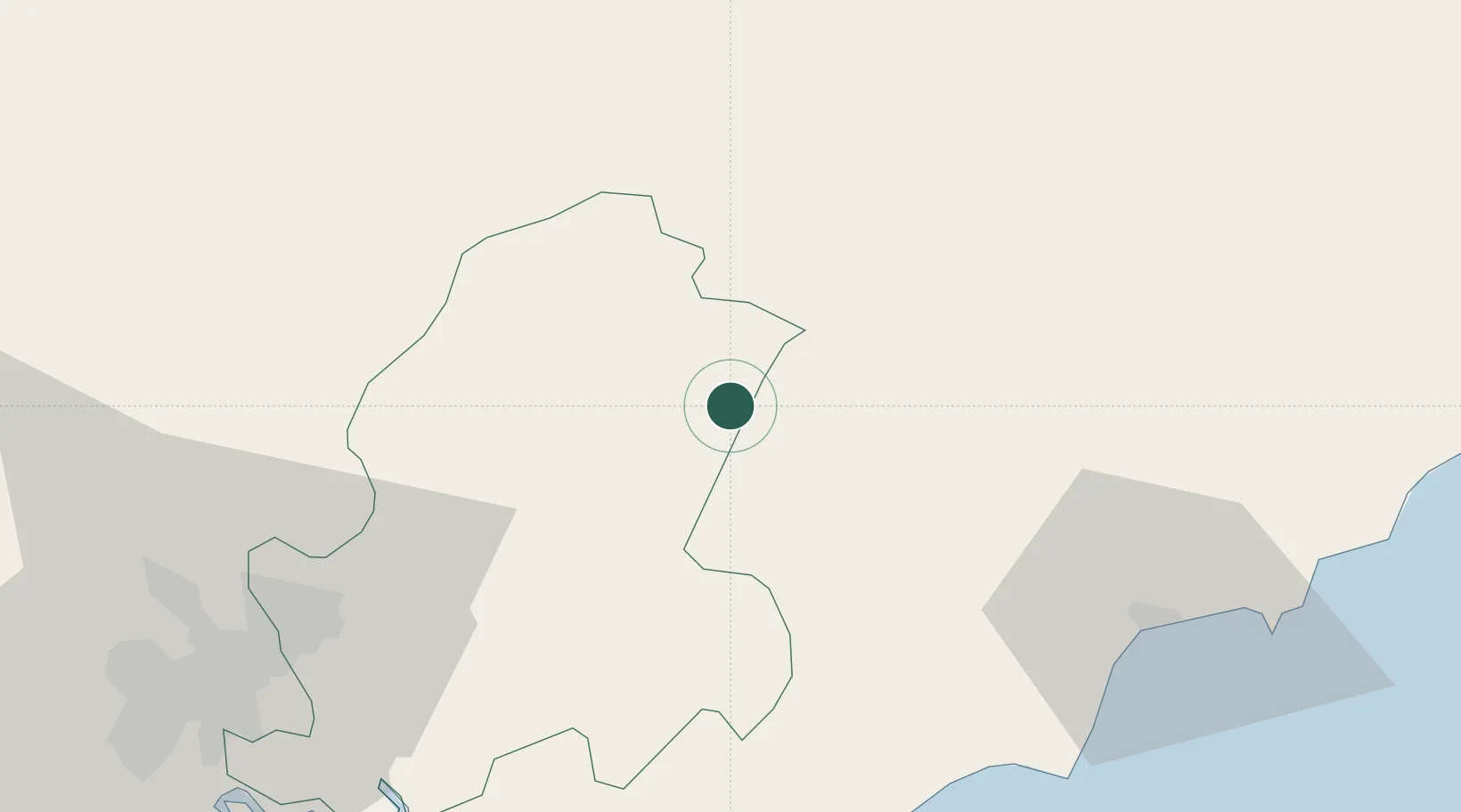
Region
Dong Nai
Time zone
Asia/Ho_Chi_Minh
Elevation
1 m
Location
Nearby Logistics Neighbours
Cities
- 1Thanh Phuoc Port79 km
- 2Tân Uyên79 km
- 3Tan Cang - Long Binh ICD79 km
- 4Long Thanh79 km
- 5Dong Nai80 km
Ports
- 1Phu My90 km
- 2Thanh Hoa93 km
- 3Cat Lai96 km
- 4Thanh Ho Chi Minh101 km
- 5Vung Tau114 km
Airports
Trade Zones
DatabookThe Record of Consolidated Knowledge
Vietnam beyond logistics?