Economic Zone · Vietnam

Nhon Hoi Economic Zone Active
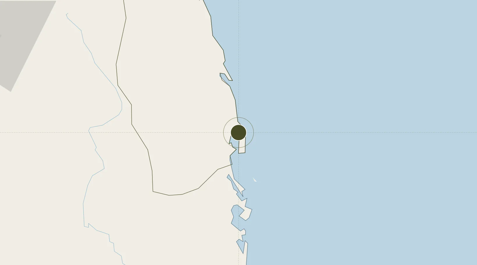
13.8637°, 109.2700°
12,000 ha
Zone area
11.5 km
Nearest port
26.6 km
Nearest airport

Gateway access

Nearest neighbours — logibook spatial index (haversine) over the source coordinates

Zone profile

Zone type
Economic Zone
the World Bank SEZ database
Region
Bình Định
the World Bank SEZ database
Status
Active
the World Bank SEZ database
Established
2006
the World Bank SEZ database
Management
Public agency
the World Bank SEZ database
Operator
Nhon Hoi Economic Zone Management Board
the World Bank SEZ database
Regulatory authority
Prime Minister
the World Bank SEZ database
Legal framework
Law on Foreign Investment in Vietnam, 1996; Decree No. 36/1997/CP on The Regulation of Industrial, Economic and Export processing zones
the World Bank SEZ database

Location

Location of VNM158
Natural Earth 10m (public domain) · Bình Định · VNM158 · 13.86, 109.27GoogleOSMYandex

Fiscal & incentives

Corporate tax
20%
the World Bank SEZ database
Tax relief
100% exempt
the World Bank SEZ database
Relief duration
4 years
the World Bank SEZ database
VAT
No exemption
the World Bank SEZ database
Import duty (inputs)
0% exempt
the World Bank SEZ database
Import duty (capex)
100% exempt
the World Bank SEZ database
Profit repatriation
No exemption
the World Bank SEZ database
Capital gains
No exemption
the World Bank SEZ database
Withholding tax
No exemption
the World Bank SEZ database
Min. investment
None
the World Bank SEZ database
Min. export
0%
the World Bank SEZ database
Employment incentive
No exemption
the World Bank SEZ database
Developer incentive
No established framework
the World Bank SEZ database

Nearby Logistics Neighbours

Ports
  1. 1Qui Nhon12 km
  2. 2Nha Trang180 km
  3. 3Vinh Cam Ranh221 km
  4. 4Da Nang273 km
  5. 5Thanh Hoa434 km
Nearest neighbours — logibook spatial index (haversine) over the source coordinates
Airports
  1. 1Phu Cat Airport27 km
  2. 2Dong Tac Airport91 km
  3. 3Pleiku Airport136 km
  4. 4Chu Lai Airport182 km
  5. 5Buon Ma Thuot Airport182 km
Nearest neighbours — logibook spatial index (haversine) over the source coordinates
Cities
  1. 1Qui Nhon10 km
  2. 2Thi Nai Port11 km
  3. 3Tan Cang - Mien Trung Terminal12 km
  4. 4Tan Cang Qui Nhon62 km
  5. 5Bong Son69 km
Nearest neighbours — logibook spatial index (haversine) over the source coordinates
Trade Zones
  1. 1Nhon Hoi Economic Zone Industrial Zone4 km
  2. 2Bình Định Becamex Industrial Zone (IZ)13 km
  3. 3Nhon Hoa Industrial Zone21 km
  4. 4Long My Industrial Park22 km
  5. 5Cát Trinh Industrial Zone27 km
Nearest neighbours — logibook spatial index (haversine) over the source coordinates
DatabookThe Record of Consolidated Knowledge
Vietnam beyond logistics?
Browse databook

All Sources

Trade Zonesthe World Bank SEZ database
CC BY 4.0
Portsthe NGA World Port Index
Public domain (US gov)
AirportsOurAirports
Public domain
LocationsUN/LOCODE
UN/LOCODE — free
← Vietnam trade zones