Diversified Zone · Vietnam

Nhon Hoa Industrial Zone Active
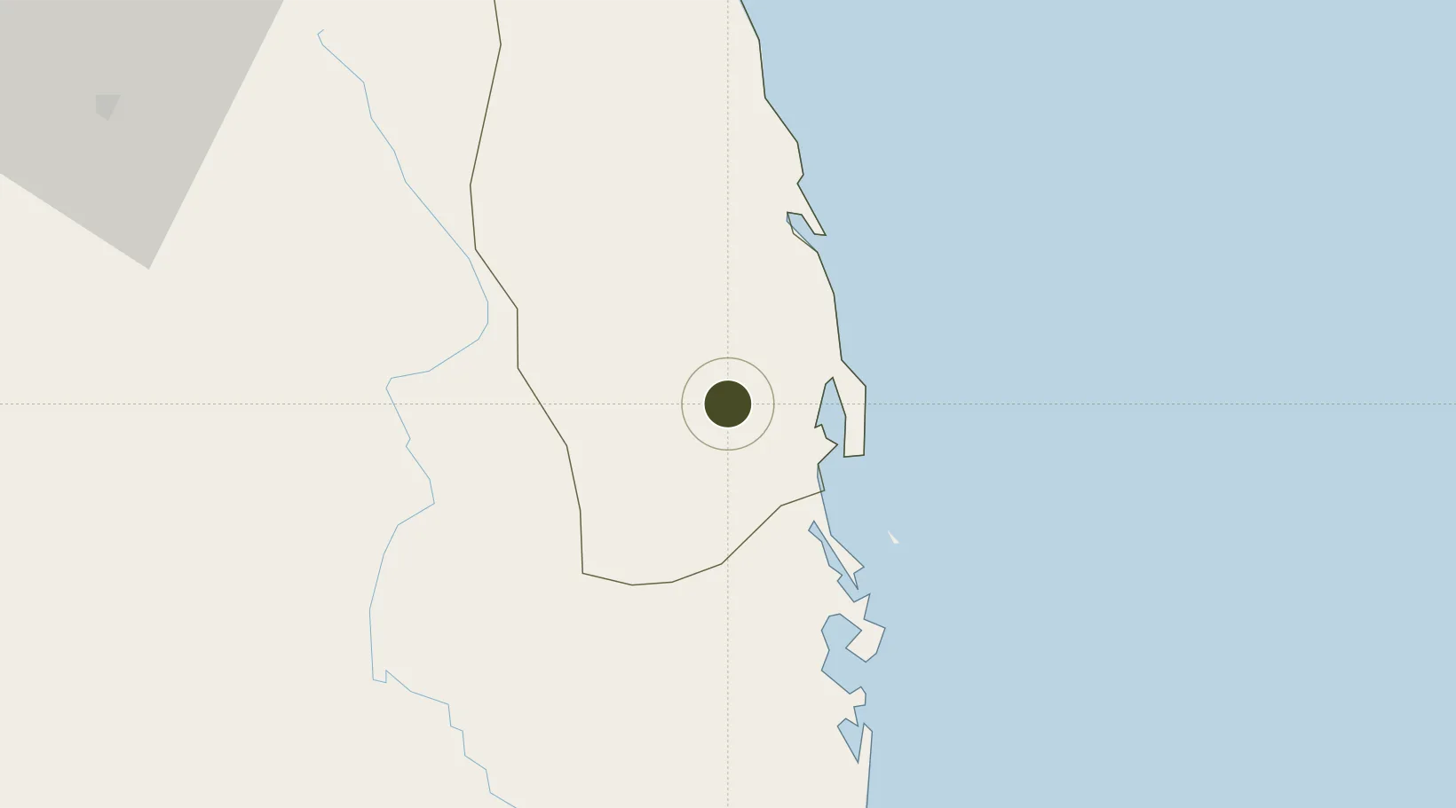
13.8461°, 109.0728°
314 ha
Zone area
19.5 km
Nearest port
12.6 km
Nearest airport

Gateway access

Nearest neighbours — logibook spatial index (haversine) over the source coordinates

Zone profile

Zone type
Diversified Zone
Open Zone Map
Region
Bình Định
Open Zone Map
Status
Active
Open Zone Map
Management
Public
Open Zone Map
Operator
Binh Dinh Economic Zone Administration
Open Zone Map
Legal framework
Decree No.82/2018/ND-CP
Open Zone Map

Location

Location of ozm-5075
Natural Earth 10m (public domain) · Bình Định · ozm-5075 · 13.85, 109.07GoogleOSMYandex

Nearby Logistics Neighbours

Ports
  1. 1Qui Nhon20 km
  2. 2Nha Trang178 km
  3. 3Vinh Cam Ranh219 km
  4. 4Da Nang267 km
  5. 5Thanh Hoa420 km
Nearest neighbours — logibook spatial index (haversine) over the source coordinates
Airports
  1. 1Phu Cat Airport13 km
  2. 2Dong Tac Airport93 km
  3. 3Pleiku Airport115 km
  4. 4Buon Ma Thuot Airport167 km
  5. 5Chu Lai Airport178 km
Nearest neighbours — logibook spatial index (haversine) over the source coordinates
Cities
  1. 1Qui Nhon19 km
  2. 2Tan Cang - Mien Trung Terminal20 km
  3. 3Thi Nai Port21 km
  4. 4Bong Son66 km
  5. 5Tan Cang Qui Nhon83 km
Nearest neighbours — logibook spatial index (haversine) over the source coordinates
Trade Zones
  1. 1Bình Nghi Industrial Zone12 km
  2. 2Long My Industrial Park15 km
  3. 3Cát Trinh Industrial Zone18 km
  4. 4Bình Định Becamex Industrial Zone (IZ)18 km
  5. 5Nhon Hoi Economic Zone Industrial Zone21 km
Nearest neighbours — logibook spatial index (haversine) over the source coordinates
DatabookThe Record of Consolidated Knowledge
Vietnam beyond logistics?
Browse databook

All Sources

Trade ZonesOpen Zone Map
CC BY
Portsthe NGA World Port Index
Public domain (US gov)
AirportsOurAirports
Public domain
LocationsUN/LOCODE
UN/LOCODE — free
← Vietnam trade zones