UN/LOCODE hub · Vietnam
VNUIH
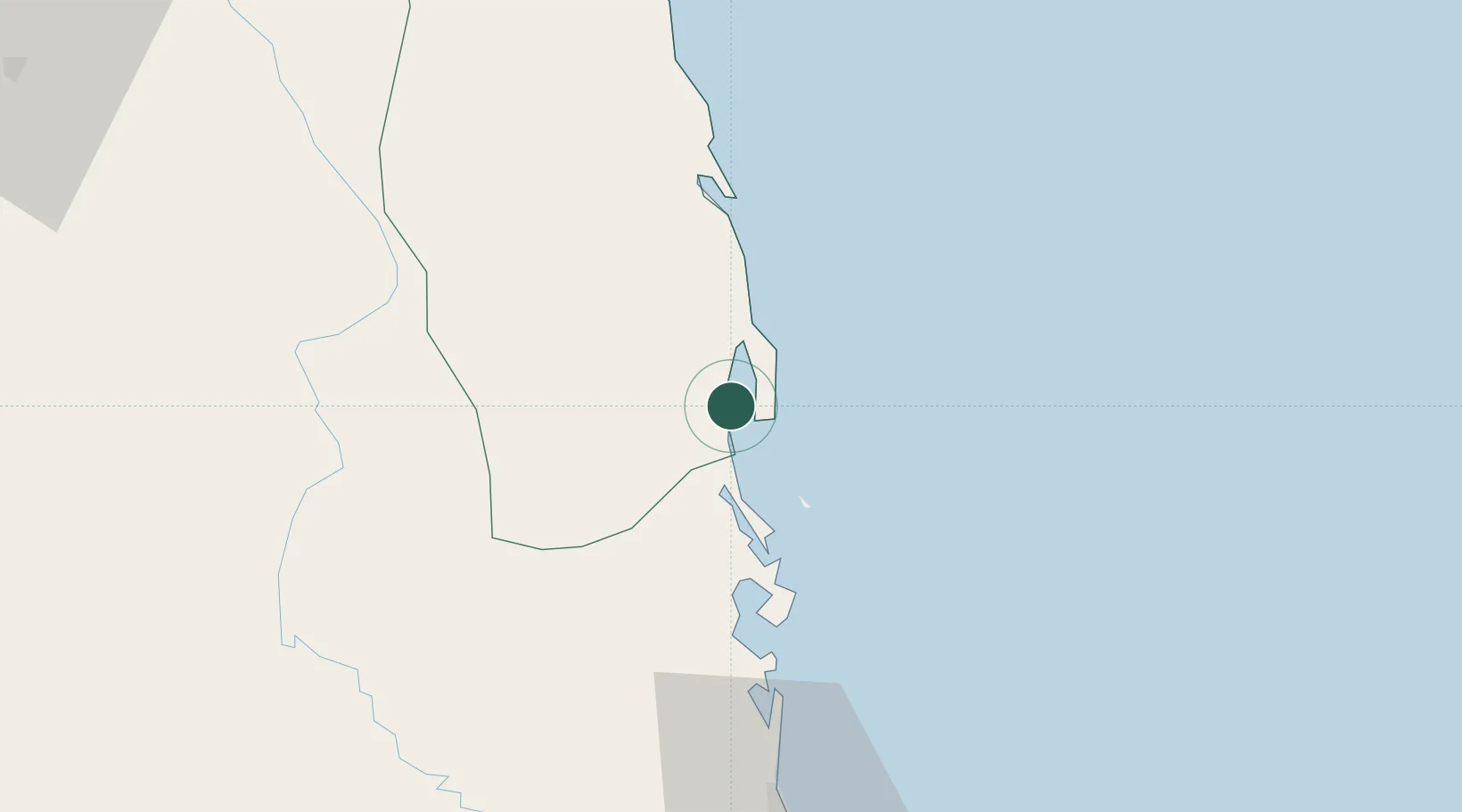
Qui Nhon
13.7809°, 109.2300°
519,208
Population
3
Transport functions
1
Container terminals
Transport Functions
Port
Road
Airport
Hub Profile
Place type
Regional capital
Region
Gia Lai
Population
519,208
Time zone
Asia/Ho_Chi_Minh
Elevation
7 m
Logistics facilities
4
Container terminals
1
Location
Nearby Logistics Neighbours
Cities
- 1Tan Cang - Mien Trung Terminal2 km
- 2Thi Nai Port3 km
- 3Tan Cang Qui Nhon65 km
- 4Bong Son76 km
- 5Vung Ro106 km
Ports
- 1Nha Trang170 km
- 2Vinh Cam Ranh211 km
- 3Da Nang280 km
- 4Thanh Hoa425 km
- 5Phu My428 km
Airports
- 1Phu Cat Airport28 km
- 2Dong Tac Airport82 km
- 3Pleiku Airport133 km
- 4Buon Ma Thuot Airport173 km
- 5Chu Lai Airport189 km
Trade Zones
DatabookThe Record of Consolidated Knowledge
Vietnam beyond logistics?