Transport Functions
Port
Road
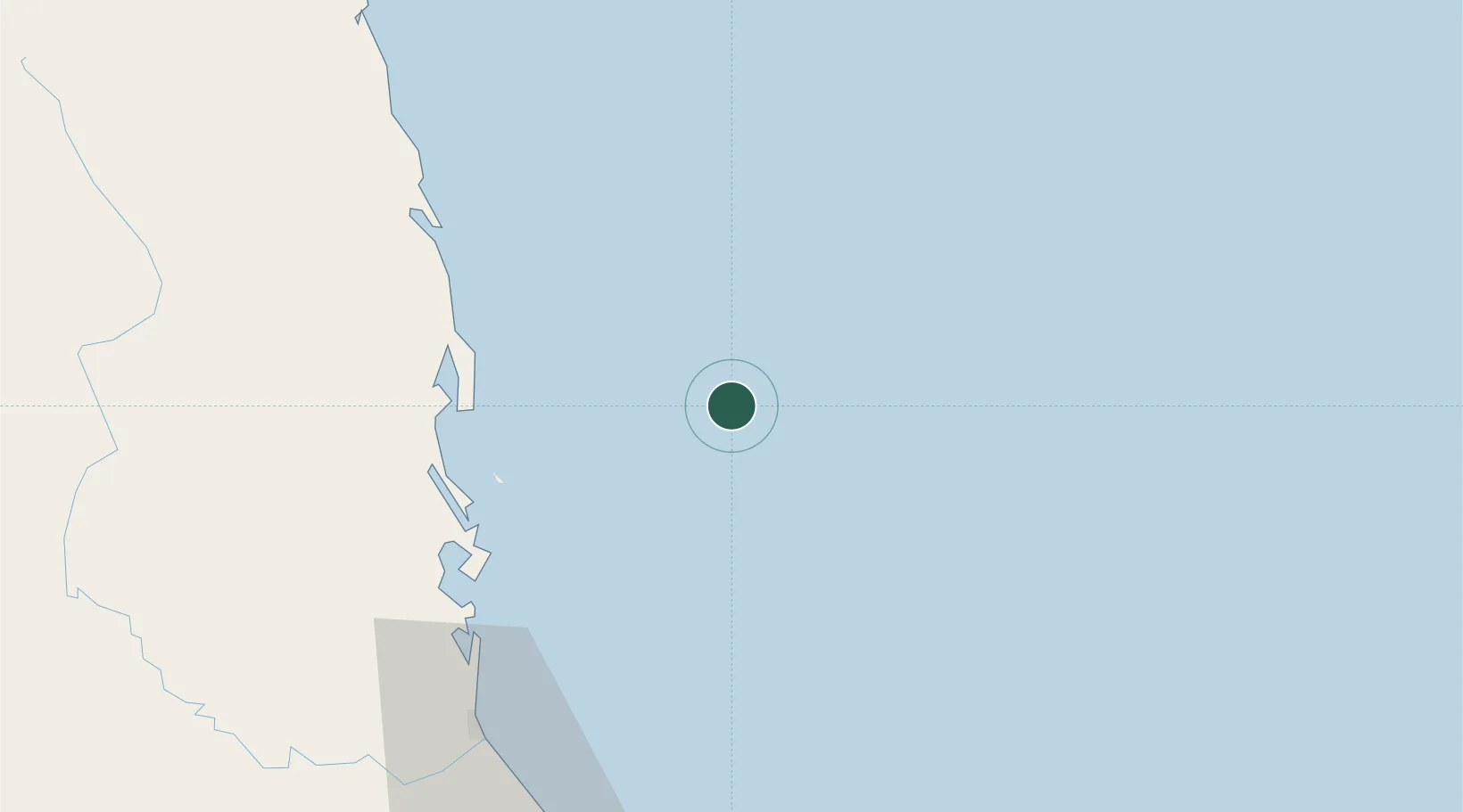
Location
Nearby Logistics Neighbours
Cities
- 1Thi Nai Port63 km
- 2Tan Cang - Mien Trung Terminal65 km
- 3Qui Nhon65 km
- 4Vung Ro112 km
- 5Bong Son115 km
Ports
- 1Qui Nhon65 km
- 2Nha Trang181 km
- 3Vinh Cam Ranh222 km
- 4Da Nang312 km
- 5Phu My467 km
Airports
- 1Phu Cat Airport88 km
- 2Dong Tac Airport96 km
- 3Pleiku Airport198 km
- 4Cam Ranh International Airport / Cam Ranh Air Base208 km
- 5Chu Lai Airport219 km
Trade Zones
DatabookThe Record of Consolidated Knowledge
Vietnam beyond logistics?