Diversified Zone · Vietnam

Nhon Hoi Economic Zone Industrial Zone Active
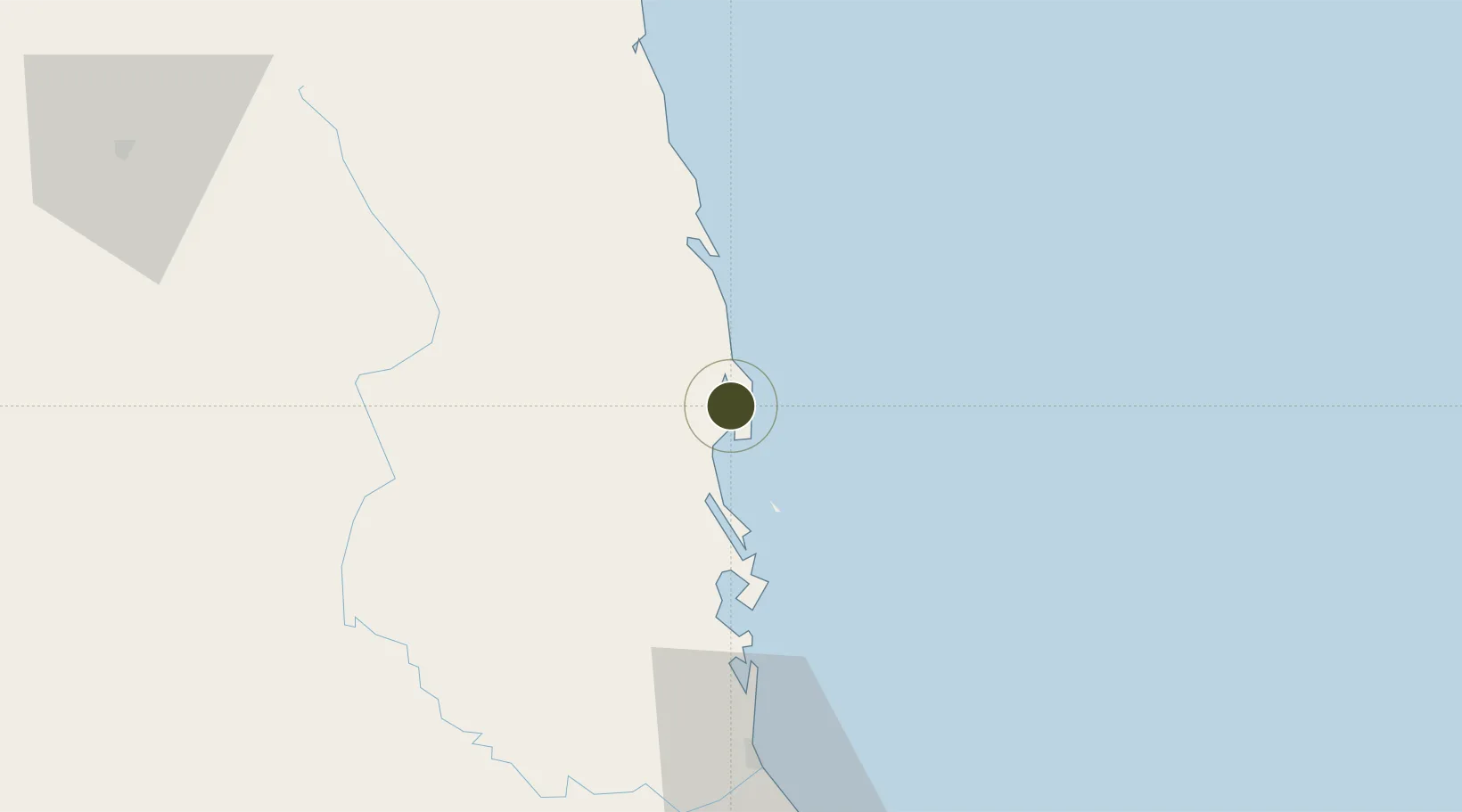
13.8261°, 109.2629°
12,000 ha
Zone area
7.3 km
Nearest port
27.8 km
Nearest airport

Gateway access

Nearest neighbours — logibook spatial index (haversine) over the source coordinates

Zone profile

Zone type
Diversified Zone
Open Zone Map
Region
Bình Định
Open Zone Map
Status
Active
Open Zone Map
Management
Public-Private Partnership
Open Zone Map
Operator
Saigon - Nhon Hoi Industrial Park Joint Stock Company (SNP)
Open Zone Map
Legal framework
Decree No.82/2018/ND-CP on Management of Industrial Parks and Economic Zones, Decree No 218/2013/ND-CP
Open Zone Map

Location

Location of ozm-5076
Natural Earth 10m (public domain) · Bình Định · ozm-5076 · 13.83, 109.26GoogleOSMYandex

Nearby Logistics Neighbours

Ports
  1. 1Qui Nhon7 km
  2. 2Nha Trang175 km
  3. 3Vinh Cam Ranh216 km
  4. 4Da Nang277 km
  5. 5Thanh Hoa431 km
Nearest neighbours — logibook spatial index (haversine) over the source coordinates
Airports
  1. 1Phu Cat Airport28 km
  2. 2Dong Tac Airport87 km
  3. 3Pleiku Airport136 km
  4. 4Buon Ma Thuot Airport179 km
  5. 5Chu Lai Airport185 km
Nearest neighbours — logibook spatial index (haversine) over the source coordinates
Cities
  1. 1Qui Nhon6 km
  2. 2Thi Nai Port7 km
  3. 3Tan Cang - Mien Trung Terminal7 km
  4. 4Tan Cang Qui Nhon62 km
  5. 5Bong Son73 km
Nearest neighbours — logibook spatial index (haversine) over the source coordinates
Trade Zones
  1. 1Nhon Hoi Economic Zone4 km
  2. 2Bình Định Becamex Industrial Zone (IZ)9 km
  3. 3Long My Industrial Park18 km
  4. 4Nhon Hoa Industrial Zone21 km
  5. 5Cát Trinh Industrial Zone29 km
Nearest neighbours — logibook spatial index (haversine) over the source coordinates
DatabookThe Record of Consolidated Knowledge
Vietnam beyond logistics?
Browse databook

All Sources

Trade ZonesOpen Zone Map
CC BY
Portsthe NGA World Port Index
Public domain (US gov)
AirportsOurAirports
Public domain
LocationsUN/LOCODE
UN/LOCODE — free
← Vietnam trade zones