Diversified Zone · Vietnam

Bình Định Becamex Industrial Zone (IZ) Under Development
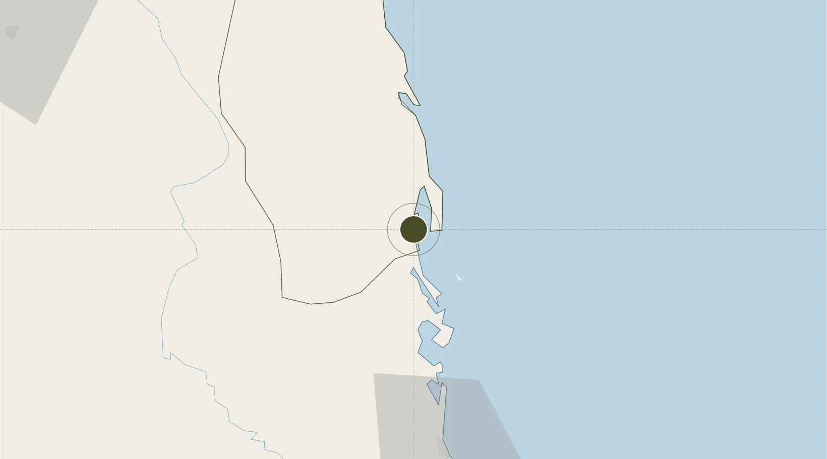
13.7616°, 109.2193°
2,308 ha
Zone area
1.6 km
Nearest port
28.8 km
Nearest airport

Gateway access

Nearest neighbours — logibook spatial index (haversine) over the source coordinates

Zone profile

Zone type
Diversified Zone
Open Zone Map
Region
Bình Định
Open Zone Map
Status
Under Development
Open Zone Map
Management
Public-Private Partnership
Open Zone Map
Operator
Binh Dinh Economic Zone Administration, Becamex IDC
Open Zone Map
Legal framework
Decree No.82/2018/ND-CP on Management of Industrial Parks and Economic Zones, Decree No 218/2013/ND-CP
Open Zone Map

Location

Location of ozm-5029
Natural Earth 10m (public domain) · Bình Định · ozm-5029 · 13.76, 109.22GoogleOSMYandex

Nearby Logistics Neighbours

Ports
  1. 1Qui Nhon2 km
  2. 2Nha Trang168 km
  3. 3Vinh Cam Ranh209 km
  4. 4Da Nang281 km
  5. 5Thanh Hoa422 km
Nearest neighbours — logibook spatial index (haversine) over the source coordinates
Airports
  1. 1Phu Cat Airport29 km
  2. 2Dong Tac Airport80 km
  3. 3Pleiku Airport133 km
  4. 4Buon Ma Thuot Airport170 km
  5. 5Chu Lai Airport191 km
Nearest neighbours — logibook spatial index (haversine) over the source coordinates
Cities
  1. 1Tan Cang - Mien Trung Terminal2 km
  2. 2Qui Nhon2 km
  3. 3Thi Nai Port3 km
  4. 4Tan Cang Qui Nhon66 km
  5. 5Bong Son78 km
Nearest neighbours — logibook spatial index (haversine) over the source coordinates
Trade Zones
  1. 1Nhon Hoi Economic Zone Industrial Zone9 km
  2. 2Long My Industrial Park11 km
  3. 3Nhon Hoi Economic Zone13 km
  4. 4Nhon Hoa Industrial Zone18 km
  5. 5Hòa Hiệp 1 Industrial Zone26 km
Nearest neighbours — logibook spatial index (haversine) over the source coordinates
DatabookThe Record of Consolidated Knowledge
Vietnam beyond logistics?
Browse databook

All Sources

Trade ZonesOpen Zone Map
CC BY
Portsthe NGA World Port Index
Public domain (US gov)
AirportsOurAirports
Public domain
LocationsUN/LOCODE
UN/LOCODE — free
← Vietnam trade zones