Industrial Zone · Vietnam

Long My Industrial Park Active
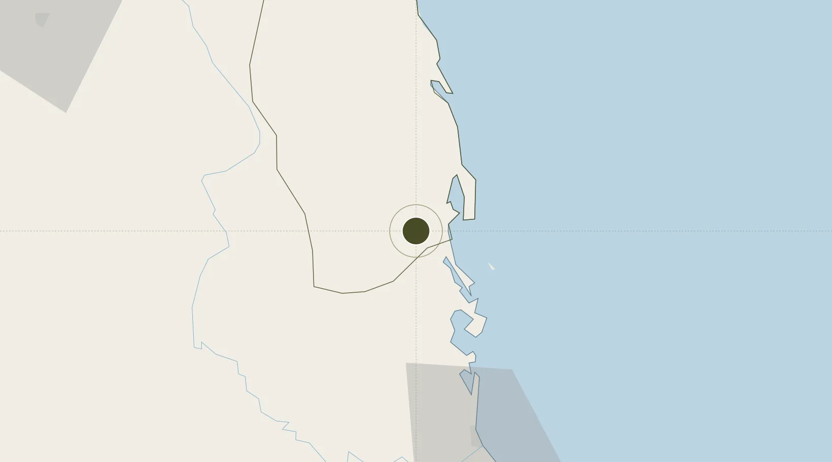
13.7235°, 109.1296°
120 ha
Zone area
12.2 km
Nearest port
27.4 km
Nearest airport

Gateway access

Nearest neighbours — logibook spatial index (haversine) over the source coordinates

Zone profile

Zone type
Industrial Zone
the World Bank SEZ database
Region
Bình Định
the World Bank SEZ database
Status
Active
the World Bank SEZ database
Established
2004
the World Bank SEZ database
Management
State-owned enterprise
the World Bank SEZ database
Operator
Binh Dinh Industrial parks Infrastructure Development Company
the World Bank SEZ database
Regulatory authority
Chairmen of Provincial People's Committees
the World Bank SEZ database
Legal framework
Law on Foreign Investment in Vietnam, 1996; Decree No. 36/1997/CP on The Regulation of Industrial, Economic and Export processing zones
the World Bank SEZ database

Location

Location of VNM154
Natural Earth 10m (public domain) · Bình Định · VNM154 · 13.72, 109.13GoogleOSMYandex

Fiscal & incentives

Corporate tax
20%
the World Bank SEZ database
Tax relief
100% exempt
the World Bank SEZ database
Relief duration
4 years
the World Bank SEZ database
VAT
No exemption
the World Bank SEZ database
Import duty (inputs)
0% exempt
the World Bank SEZ database
Import duty (capex)
100% exempt
the World Bank SEZ database
Profit repatriation
No exemption
the World Bank SEZ database
Capital gains
No exemption
the World Bank SEZ database
Withholding tax
No exemption
the World Bank SEZ database
Min. investment
None
the World Bank SEZ database
Min. export
0%
the World Bank SEZ database
Employment incentive
No exemption
the World Bank SEZ database
Developer incentive
No established framework
the World Bank SEZ database

Nearby Logistics Neighbours

Ports
  1. 1Qui Nhon12 km
  2. 2Nha Trang164 km
  3. 3Vinh Cam Ranh205 km
  4. 4Da Nang282 km
  5. 5Thanh Hoa413 km
Nearest neighbours — logibook spatial index (haversine) over the source coordinates
Airports
  1. 1Phu Cat Airport27 km
  2. 2Dong Tac Airport78 km
  3. 3Pleiku Airport124 km
  4. 4Buon Ma Thuot Airport160 km
  5. 5Cam Ranh International Airport / Cam Ranh Air Base192 km
Nearest neighbours — logibook spatial index (haversine) over the source coordinates
Cities
  1. 1Tan Cang - Mien Trung Terminal12 km
  2. 2Qui Nhon13 km
  3. 3Thi Nai Port14 km
  4. 4Tan Cang Qui Nhon76 km
  5. 5Bong Son80 km
Nearest neighbours — logibook spatial index (haversine) over the source coordinates
Trade Zones
  1. 1Bình Định Becamex Industrial Zone (IZ)11 km
  2. 2Nhon Hoa Industrial Zone15 km
  3. 3Nhon Hoi Economic Zone Industrial Zone18 km
  4. 4Nhon Hoi Economic Zone22 km
  5. 5Bình Nghi Industrial Zone25 km
Nearest neighbours — logibook spatial index (haversine) over the source coordinates
DatabookThe Record of Consolidated Knowledge
Vietnam beyond logistics?
Browse databook

All Sources

Trade Zonesthe World Bank SEZ database
CC BY 4.0
Portsthe NGA World Port Index
Public domain (US gov)
AirportsOurAirports
Public domain
LocationsUN/LOCODE
UN/LOCODE — free
← Vietnam trade zones