UN/LOCODE hub · United States
USUT3
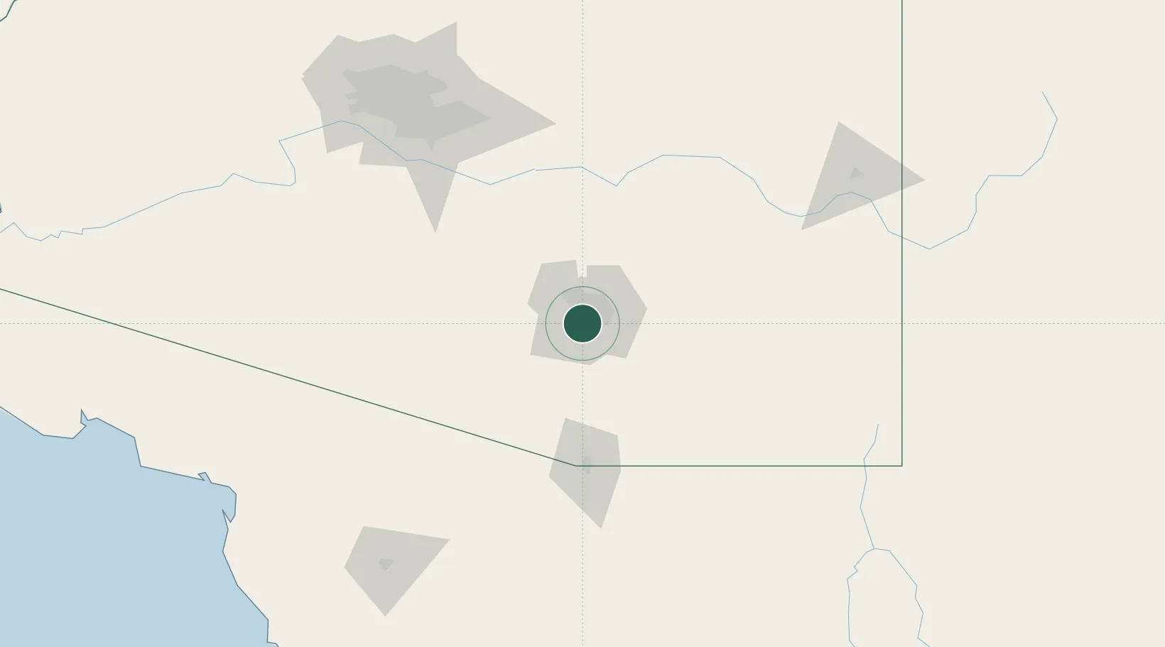
South Tucson
32.1833°, -110.9667°
5,715
Population
1
Transport functions
Transport Functions
Multimodal
Hub Profile
Place type
Populated place
Region
Arizona
Population
5,715
Time zone
America/Phoenix
Elevation
739 m
Location
Nearby Logistics Neighbours
Cities
- 1Tucson13 km
- 2Tucson International Apt13 km
- 3Sahuarita26 km
- 4Vail28 km
- 5Green Valley35 km
Ports
- 1Guaymas475 km
- 2Ensenada535 km
- 3Santa Rosalia554 km
- 4Isla San Marcos567 km
- 5Rosarito577 km
Airports
Trade Zones
- 1FTZ No. 174 Pima County12 km
- 2FTZ No. 060 Nogales93 km
- 3FTZ No. 139 Sierra Vista95 km
- 4FTZ No. 221 Mesa159 km
- 5FTZ No. 075 Phoenix175 km
DatabookThe Record of Consolidated Knowledge
United States beyond logistics?