UN/LOCODE hub · United States
USTUZ
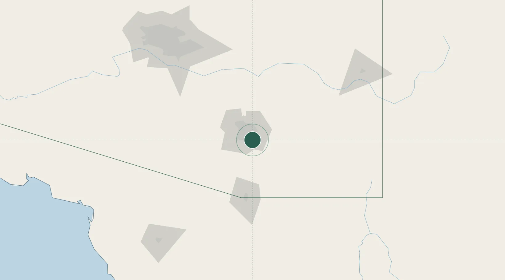
Tucson
32.1280°, -110.8483°
542,629
Population
3
Transport functions
Transport Functions
Rail
Road
Multimodal
Hub Profile
Place type
Provincial seat
Region
Arizona
Population
542,629
Time zone
America/Phoenix
Elevation
759 m
Logistics facilities
1
Location
Nearby Logistics Neighbours
Cities
- 1Tucson International Apt0 km
- 2South Tucson13 km
- 3Vail15 km
- 4Sahuarita22 km
- 5Green Valley32 km
Ports
- 1Guaymas468 km
- 2Ensenada546 km
- 3Santa Rosalia551 km
- 4Isla San Marcos563 km
- 5Rosarito588 km
Airports
Trade Zones
- 1FTZ No. 174 Pima County20 km
- 2FTZ No. 139 Sierra Vista83 km
- 3FTZ No. 060 Nogales87 km
- 4FTZ No. 221 Mesa170 km
- 5FTZ No. 075 Phoenix186 km
DatabookThe Record of Consolidated Knowledge
United States beyond logistics?