UN/LOCODE hub · United States
USTUS

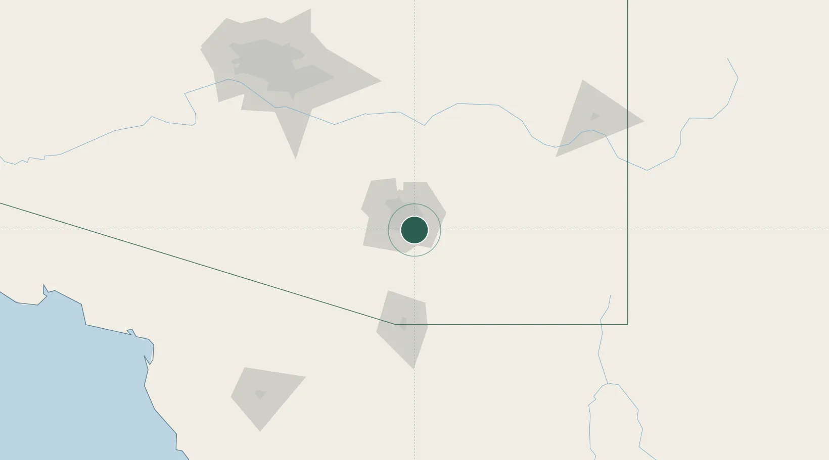
Tucson International Apt

32.1263°, -110.8471°
4
Transport functions

Transport Functions

Rail
Road
Airport
Postal
UN/LOCODE

Hub Profile

Region
AZ
GeoNames
Logistics facilities
1
UN/LOCODE

Location

Location of USTUS
Natural Earth 10m (public domain) · AZ · USTUS · 32.13, -110.85GoogleOSMYandex

Nearby Logistics Neighbours

Cities
  1. 1Tucson0 km
  2. 2South Tucson13 km
  3. 3Vail15 km
  4. 4Sahuarita22 km
  5. 5Green Valley32 km
Nearest neighbours — logibook spatial index (haversine) over the source coordinates
Ports
  1. 1Guaymas468 km
  2. 2Ensenada546 km
  3. 3Santa Rosalia551 km
  4. 4Isla San Marcos563 km
  5. 5Rosarito589 km
Nearest neighbours — logibook spatial index (haversine) over the source coordinates
Airports
  1. 1Davis Monthan Air Force Base6 km
  2. 2Tucson International Airport9 km
  3. 3Sierra Vista Municipal Airport / Libby Army Air Field76 km
  4. 4Nogales International Airport79 km
  5. 5Nogales International Airport101 km
Nearest neighbours — logibook spatial index (haversine) over the source coordinates
Trade Zones
  1. 1FTZ No. 174 Pima County20 km
  2. 2FTZ No. 139 Sierra Vista82 km
  3. 3FTZ No. 060 Nogales87 km
  4. 4FTZ No. 221 Mesa170 km
  5. 5FTZ No. 075 Phoenix187 km
Nearest neighbours — logibook spatial index (haversine) over the source coordinates
DatabookThe Record of Consolidated Knowledge
United States beyond logistics?
Browse databook

All Sources

LocationsUN/LOCODE
UN/LOCODE — free
Portsthe NGA World Port Index
Public domain (US gov)
AirportsOurAirports
Public domain
Trade Zonesthe World Bank SEZ database
CC BY 4.0
Trade ZonesOpen Zone Map
CC BY
← United States locations