Transport Functions
Road
Multimodal
Hub Profile
Place type
Provincial seat
Region
Virginia
Population
439
Time zone
America/New_York
Elevation
760 m
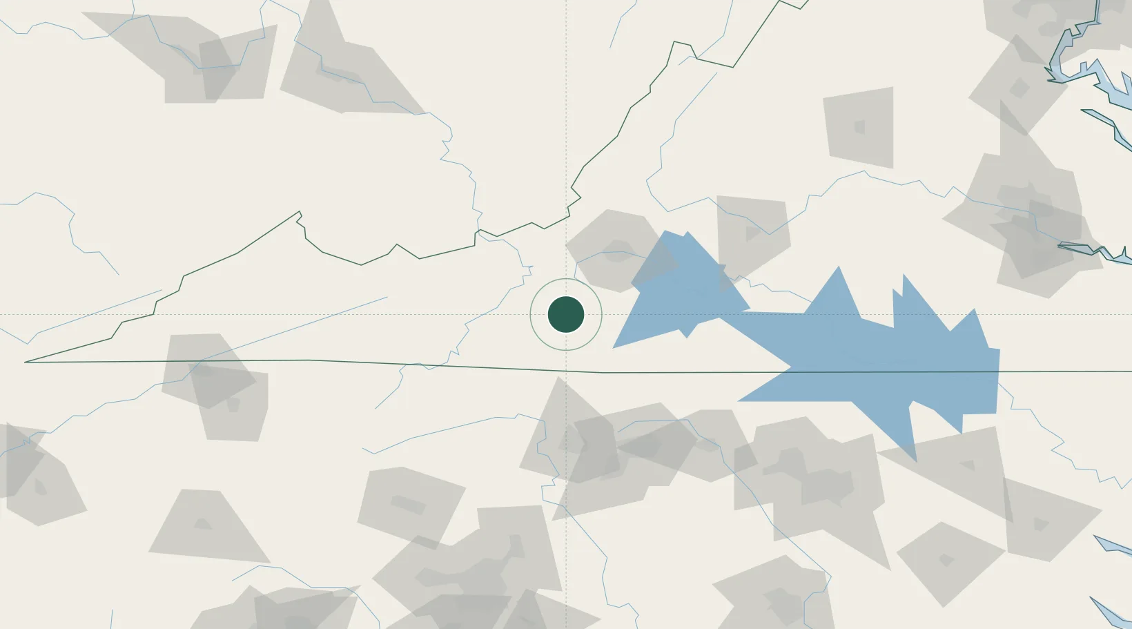
Location
Nearby Logistics Neighbours
Cities
- 1Meadows of Dan20 km
- 2Hiwassee35 km
- 3Fieldale41 km
- 4Collinsville41 km
- 5Spring Grove58 km
Ports
- 1Richmond266 km
- 2Fredericksburg297 km
- 3West Point319 km
- 4Washington329 km
- 5Plymouth339 km
Airports
Trade Zones
- 1FTZ No. 238 Dublin41 km
- 2FTZ No. 230 Piedmont Triad Area80 km
- 3FTZ No. 093 Raleigh Durham168 km
- 4FTZ No. 204 Tri-Cities192 km
- 5FTZ No. 057 Mecklenburg County195 km
DatabookThe Record of Consolidated Knowledge
United States beyond logistics?