UN/LOCODE hub · United States
USZAD
Alvarado
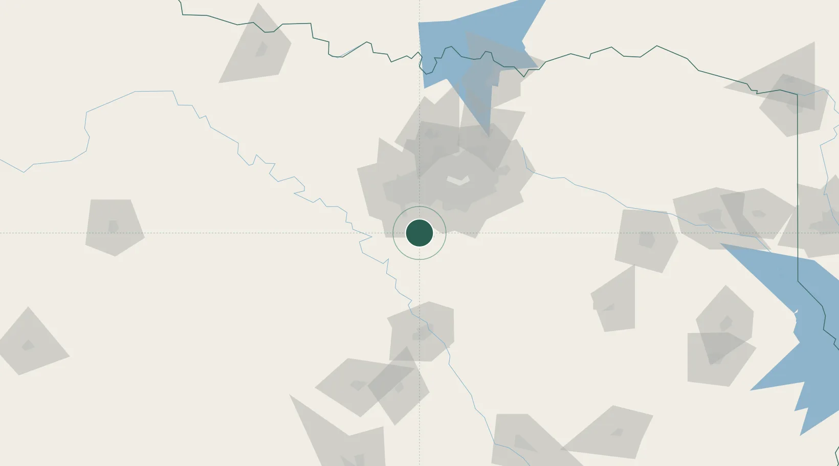
32.4000°, -97.2000°
4,015
Population
1
Transport functions
Transport Functions
Port
Hub Profile
Place type
Populated place
Region
Texas
Population
4,015
Time zone
America/Chicago
Elevation
233 m
Location
Nearby Logistics Neighbours
Cities
- 1Keene11 km
- 2Grandview15 km
- 3Joshua18 km
- 4Cedar Hill31 km
- 5Italy38 km
Airports
Trade Zones
- 1FTZ No. 113 Ellis County21 km
- 2FTZ No. 168 Dallas Fort Worth49 km
- 3FTZ No. 196 Fort Worth56 km
- 4FTZ No. 039 Dallas Fort Worth91 km
- 5FTZ No. 246 Waco94 km
DatabookThe Record of Consolidated Knowledge
United States beyond logistics?