UN/LOCODE hub · United States
USNND
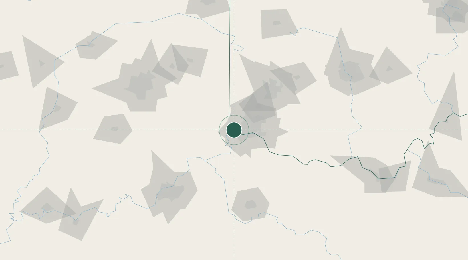
North Bend
39.1500°, -84.7500°
860
Population
2
Transport functions
Transport Functions
Rail
Road
Hub Profile
Place type
Populated place
Region
Ohio
Population
860
Time zone
America/New_York
Elevation
175 m
Location
Nearby Logistics Neighbours
Cities
- 1Harrison13 km
- 2Burlington13 km
- 3Delhi14 km
- 4West Harrison14 km
- 5Aurora17 km
Ports
- 1Toledo304 km
- 2Port Clinton305 km
- 3Sandusky308 km
- 4Huron312 km
- 5Put In Bay323 km
Airports
Trade Zones
- 1FTZ No. 046 CIncinnati21 km
- 2FTZ No. 047 Boone County24 km
- 3FTZ No. 100 Dayton82 km
- 4FTZ No. 054 Clinton County89 km
- 5FTZ No. 029 Louisville134 km
DatabookThe Record of Consolidated Knowledge
United States beyond logistics?