UN/LOCODE hub · United States
USBHJ
Burlington
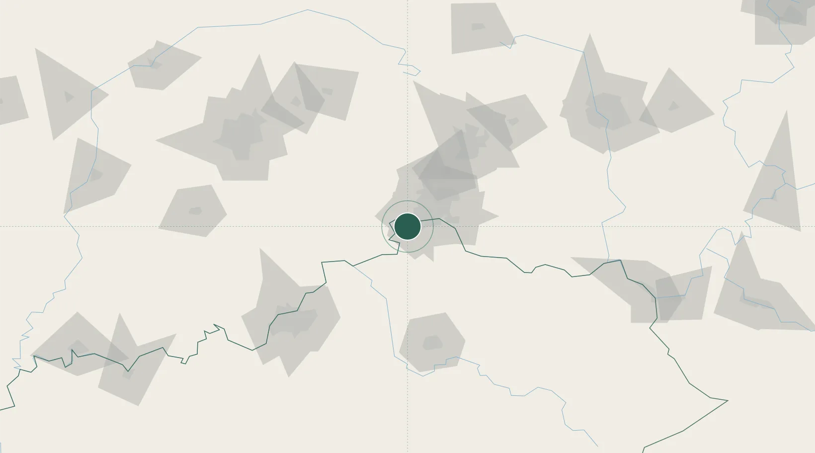
39.0333°, -84.7167°
15,926
Population
2
Transport functions
Transport Functions
Port
Road
Hub Profile
Place type
Provincial seat
Region
Kentucky
Population
15,926
Time zone
America/New_York
Elevation
256 m
Location
Nearby Logistics Neighbours
Cities
- 1Delhi13 km
- 2Crestview Hills13 km
- 3North Bend13 km
- 4Fort Mitchell15 km
- 5Aurora16 km
Ports
- 1Port Clinton315 km
- 2Toledo315 km
- 3Sandusky318 km
- 4Huron321 km
- 5Put In Bay333 km
Airports
Trade Zones
- 1FTZ No. 047 Boone County17 km
- 2FTZ No. 046 CIncinnati19 km
- 3FTZ No. 054 Clinton County91 km
- 4FTZ No. 100 Dayton93 km
- 5FTZ No. 029 Louisville127 km
DatabookThe Record of Consolidated Knowledge
United States beyond logistics?