UN/LOCODE hub · United States
USIS2
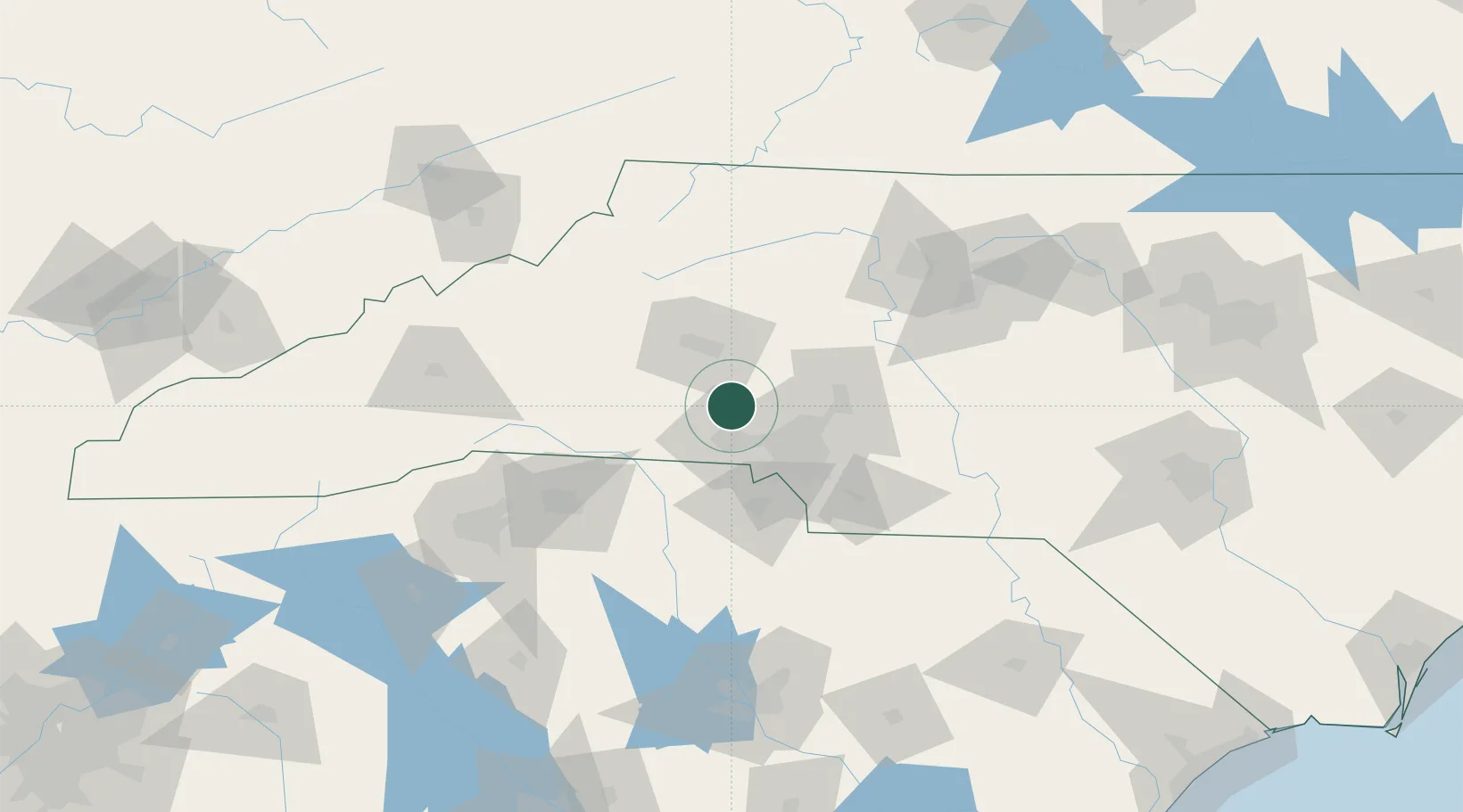
Iron Station
35.4333°, -81.1500°
755
Population
2
Transport functions
Transport Functions
Rail
Road
Hub Profile
Place type
Populated place
Region
North Carolina
Population
755
Time zone
America/New_York
Elevation
268 m
Location
Nearby Logistics Neighbours
Ports
- 1Georgetown287 km
- 2Charleston316 km
- 3Wilmington321 km
- 4Southport332 km
- 5Wrightsville333 km
Airports
Trade Zones
DatabookThe Record of Consolidated Knowledge
United States beyond logistics?