Transport Functions
Port
Road
Hub Profile
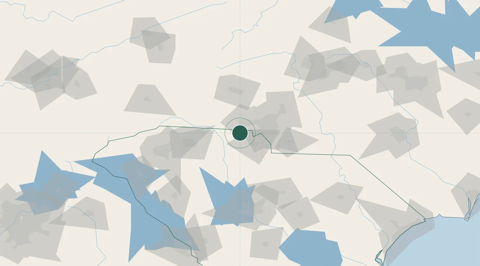
Place type
Populated place
Region
South Carolina
Population
5,744
Time zone
America/New_York
Elevation
258 m
Location
Nearby Logistics Neighbours
Cities
- 1Cramerton20 km
- 2Grover21 km
- 3Lowell21 km
- 4Hickory Grove, York22 km
- 5Earl28 km
Ports
- 1Georgetown265 km
- 2Charleston287 km
- 3Beaufort303 km
- 4Port Royal310 km
- 5Wilmington316 km
Airports
Trade Zones
DatabookThe Record of Consolidated Knowledge
United States beyond logistics?