Transport Functions
Rail
Road
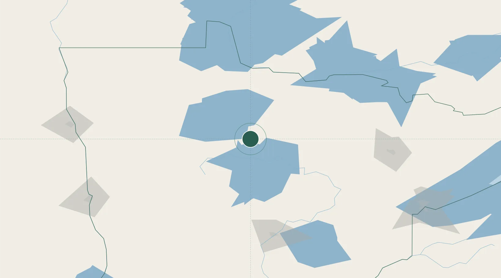
Hub Profile
Place type
Populated place
Region
Minnesota
Population
779
Time zone
America/Chicago
Elevation
426 m
Location
Nearby Logistics Neighbours
Cities
- 1Bagley68 km
- 2Walker69 km
- 3Deer River73 km
- 4Hackensack87 km
- 5Fosston91 km
Ports
- 1Duluth213 km
- 2Superior217 km
- 3Two Harbors232 km
- 4Bayfield300 km
- 5Washburn301 km
Airports
Trade Zones
- 1FTZ No. 259 Koochiching County65 km
- 2FTZ No. 103 Grand Forks197 km
- 3FTZ No. 051 Duluth203 km
- 4FTZ No. 267 Fargo206 km
- 5Winnipegs Centreport Canada308 km
DatabookThe Record of Consolidated Knowledge
United States beyond logistics?