Medium airport · United States

Bemidji Regional AirportKBJI
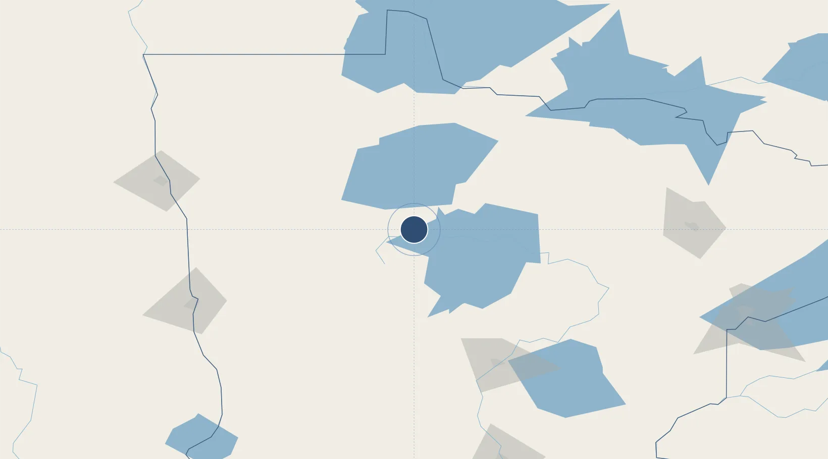
47.5094°, -94.9337°
7,004 ft
Longest runway
2
Runways
1,391 ft
Elevation

Runway & Layout

Bemidji Regional Airport runway & taxiway layout
Runway & taxiway layout — OpenStreetMap (ODbL) / OurAirports

Radio Frequencies

AWOS
119.275 MHz
AWOS 3
CNTR
134.75 MHz
MINNEAPOLIS CNTR
RDO
123.6 MHz
PRINCETON RDO
UNIC
122.8 MHz
CTAF/UNICOM
OurAirports

Runways · 2

RunwayDimensions SurfaceTrue headingLit
13/31 7,004 × 150ft Asphalt 134°
07/25 5,700 × 150ft Asphalt 074°
OurAirports

Airport Specifications

IATA code
BJI
OurAirports
ICAO code
KBJI
OurAirports
Airport class
Medium airport
OurAirports
Scheduled service
No
OurAirports
Runway surface
Asphalt
OurAirports
Served city
Bemidji
OurAirports

Location

Location of KBJI
Natural Earth 10m (public domain) · Minnesota · KBJI · 47.51, -94.93GoogleOSMYandex

Nearby Logistics Neighbours

Airports
  1. 1Thief River Falls Regional Airport112 km
  2. 2Brainerd Lakes Regional Airport137 km
  3. 3Baudette International Airport138 km
  4. 4Hector International Airport157 km
  5. 5Range Regional Airport158 km
Nearest neighbours — logibook spatial index (haversine) over the source coordinates
Cities
  1. 1Bagley35 km
  2. 2Blackduck37 km
  3. 3Walker53 km
  4. 4Fosston62 km
  5. 5Ponsford69 km
Nearest neighbours — logibook spatial index (haversine) over the source coordinates
Ports
  1. 1Duluth230 km
  2. 2Superior233 km
  3. 3Two Harbors254 km
  4. 4Washburn321 km
  5. 5Bayfield321 km
Nearest neighbours — logibook spatial index (haversine) over the source coordinates
Trade Zones
  1. 1FTZ No. 259 Koochiching County97 km
  2. 2FTZ No. 267 Fargo170 km
  3. 3FTZ No. 103 Grand Forks174 km
  4. 4FTZ No. 051 Duluth219 km
  5. 5Winnipegs Centreport Canada311 km
Nearest neighbours — logibook spatial index (haversine) over the source coordinates
DatabookThe Record of Consolidated Knowledge
United States beyond logistics?
Browse databook

All Sources

AirportsOurAirports
Public domain
Portsthe NGA World Port Index
Public domain (US gov)
LocationsUN/LOCODE
UN/LOCODE — free
Trade Zonesthe World Bank SEZ database
CC BY 4.0
Trade ZonesOpen Zone Map
CC BY
InfrastructureOpenStreetMap
ODbL 1.0
← United States airports