UN/LOCODE hub · United States
USDMT
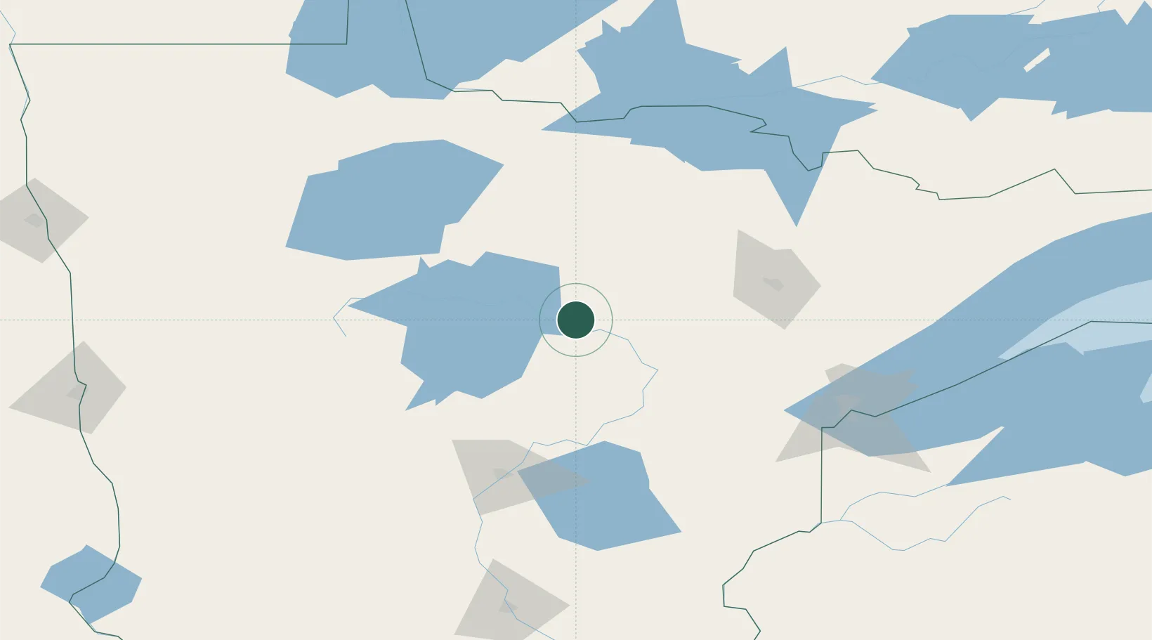
Deer River
47.3167°, -93.7833°
933
Population
2
Transport functions
Transport Functions
Rail
Road
Hub Profile
Place type
Populated place
Region
Minnesota
Population
933
Time zone
America/Chicago
Elevation
394 m
Location
Nearby Logistics Neighbours
Cities
- 1Walker65 km
- 2Hackensack70 km
- 3Blackduck73 km
- 4Floodwood79 km
- 5McGregor87 km
Ports
- 1Duluth142 km
- 2Superior145 km
- 3Two Harbors165 km
- 4Washburn232 km
- 5Bayfield232 km
Airports
- 1Range Regional Airport72 km
- 2Bemidji Regional Airport89 km
- 3Brainerd Lakes Regional Airport105 km
- 4Duluth International Airport131 km
- 5Falls International Airport142 km
Trade Zones
- 1FTZ No. 259 Koochiching County114 km
- 2FTZ No. 051 Duluth131 km
- 3FTZ No. 267 Fargo247 km
- 4FTZ No. 103 Grand Forks263 km
- 5FTZ No. 119 Minneapolis-St. Paul264 km
DatabookThe Record of Consolidated Knowledge
United States beyond logistics?