Medium airport · United States

Thief River Falls Regional AirportKTVF
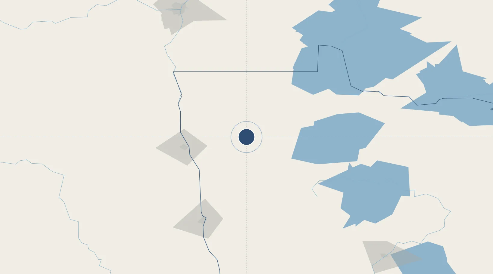
48.0657°, -96.1850°
6,504 ft
Longest runway
1
Runways
1,119 ft
Elevation

Runway & Layout

Thief River Falls Regional Airport runway & taxiway layout
Runway & taxiway layout — OpenStreetMap (ODbL) / OurAirports

Radio Frequencies

AWOS
108.4 MHz
AWOS 3
CNTR
132.15 MHz
MINNEAPOLIS CNTR
RDO
108.4 MHz
PRINCETON RDO
UNIC
122.8 MHz
CTAF/UNICOM
OurAirports

Runways · 1

RunwayDimensions SurfaceTrue headingLit
13/31 6,504 × 150ft Asphalt 135°
OurAirports

Airport Specifications

IATA code
TVF
OurAirports
ICAO code
KTVF
OurAirports
Airport class
Medium airport
OurAirports
Scheduled service
Yes
OurAirports
Runway surface
Asphalt
OurAirports
Served city
Thief River Falls
OurAirports

Location

Location of KTVF
Natural Earth 10m (public domain) · Minnesota · KTVF · 48.07, -96.18GoogleOSMYandex

Nearby Logistics Neighbours

Airports
  1. 1Grand Forks International Airport75 km
  2. 2Grand Forks Air Force Base91 km
  3. 3Bemidji Regional Airport112 km
  4. 4Hector International Airport136 km
  5. 5Baudette International Airport138 km
Nearest neighbours — logibook spatial index (haversine) over the source coordinates
Cities
  1. 1Warren45 km
  2. 2Alvarado61 km
  3. 3Winger61 km
  4. 4Fosston64 km
  5. 5Stephen66 km
Nearest neighbours — logibook spatial index (haversine) over the source coordinates
Ports
  1. 1Duluth340 km
  2. 2Superior344 km
  3. 3Two Harbors360 km
  4. 4Bayfield428 km
  5. 5Washburn428 km
Nearest neighbours — logibook spatial index (haversine) over the source coordinates
Trade Zones
  1. 1FTZ No. 103 Grand Forks75 km
  2. 2FTZ No. 259 Koochiching County141 km
  3. 3FTZ No. 267 Fargo147 km
  4. 4Winnipegs Centreport Canada215 km
  5. 5FTZ No. 051 Duluth329 km
Nearest neighbours — logibook spatial index (haversine) over the source coordinates
DatabookThe Record of Consolidated Knowledge
United States beyond logistics?
Browse databook

All Sources

AirportsOurAirports
Public domain
Portsthe NGA World Port Index
Public domain (US gov)
LocationsUN/LOCODE
UN/LOCODE — free
Trade Zonesthe World Bank SEZ database
CC BY 4.0
Trade ZonesOpen Zone Map
CC BY
InfrastructureOpenStreetMap
ODbL 1.0
← United States airports