UN/LOCODE hub · United States
USMES
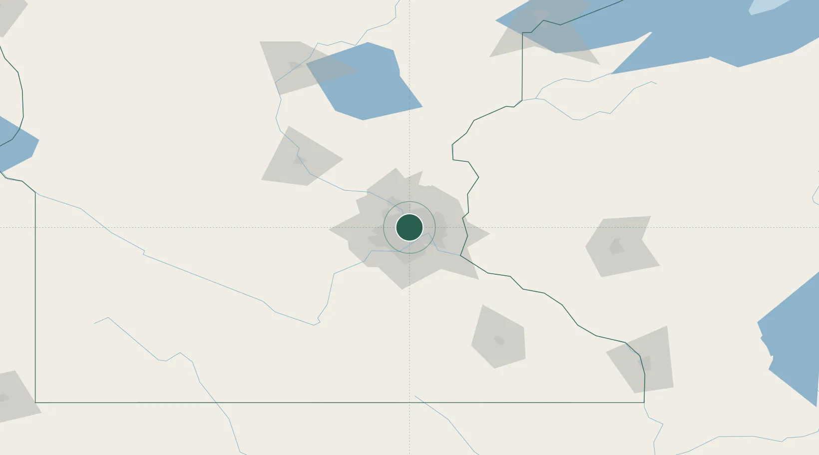
Minneapolis
44.9979°, -93.2553°
410,939
Population
4
Transport functions
Transport Functions
Port
Rail
Road
Airport
Hub Profile
Place type
Provincial seat
Region
Minnesota
Population
410,939
Time zone
America/Chicago
Elevation
253 m
Logistics facilities
18
Location
Nearby Logistics Neighbours
Cities
- 1Medina3 km
- 2Columbia Heights5 km
- 3Saint Paul7 km
- 4Spring Lake Park12 km
- 5Fort Snelling13 km
Ports
- 1Superior214 km
- 2Duluth216 km
- 3Two Harbors256 km
- 4Ashland257 km
- 5Washburn261 km
Airports
Trade Zones
- 1FTZ No. 119 Minneapolis-St. Paul4 km
- 2FTZ No. 051 Duluth211 km
- 3FTZ No. 288 Northwest Iowa304 km
- 4FTZ No. 220 Sioux Falls324 km
- 5FTZ No. 267 Fargo354 km
DatabookThe Record of Consolidated Knowledge
United States beyond logistics?