Medium airport · United States
Saint Cloud Regional AirportKSTC
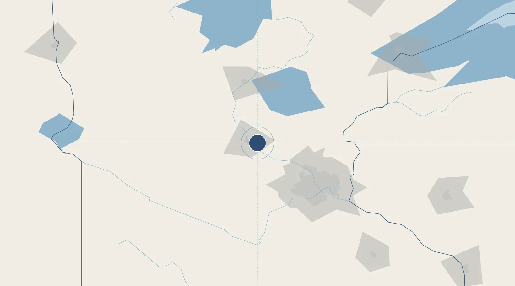
45.5466°, -94.0599°
7,500 ft
Longest runway
2
Runways
1,031 ft
Elevation
Runway & Layout

Radio Frequencies
ATIS
119.375 MHz
ASOS
118.25 MHz
TWR
118.25 MHz
GND
121.6 MHz
CLD
118.25 MHz
CLNC DEL
CTAF
123.5 MHz
CNTR
121.05 MHz
MINNEAPOLIS CNTR
RDO
122.5 MHz
PRINCETON RDO
Navaids
ST NDB Hussk 342 kHz
STC VOR-DME Saint Cloud 112.10 MHz
Runways · 2
| Runway | Dimensions | Surface | True heading | Lit |
|---|---|---|---|---|
| 13/31 | 7,500 × 150ft | Concrete | 136° | ✓ |
| 05/23 | 3,000 × 75ft | Asphalt | 059° | ✓ |
Airport Specifications
IATA code
STC
ICAO code
KSTC
Airport class
Medium airport
Scheduled service
Yes
Runway surface
Concrete
Served city
Saint Cloud
Location
Nearby Logistics Neighbours
Airports
Cities
- 1Waite Park12 km
- 2Clearwater15 km
- 3Foley17 km
- 4Saint Joseph20 km
- 5Collegeville23 km
Ports
- 1Superior203 km
- 2Duluth203 km
- 3Two Harbors247 km
- 4Ashland273 km
- 5Washburn275 km
Trade Zones
- 1FTZ No. 119 Minneapolis-St. Paul91 km
- 2FTZ No. 051 Duluth194 km
- 3FTZ No. 267 Fargo267 km
- 4FTZ No. 259 Koochiching County304 km
- 5FTZ No. 288 Northwest Iowa310 km
DatabookThe Record of Consolidated Knowledge
United States beyond logistics?