Transport Functions
Road
Multimodal
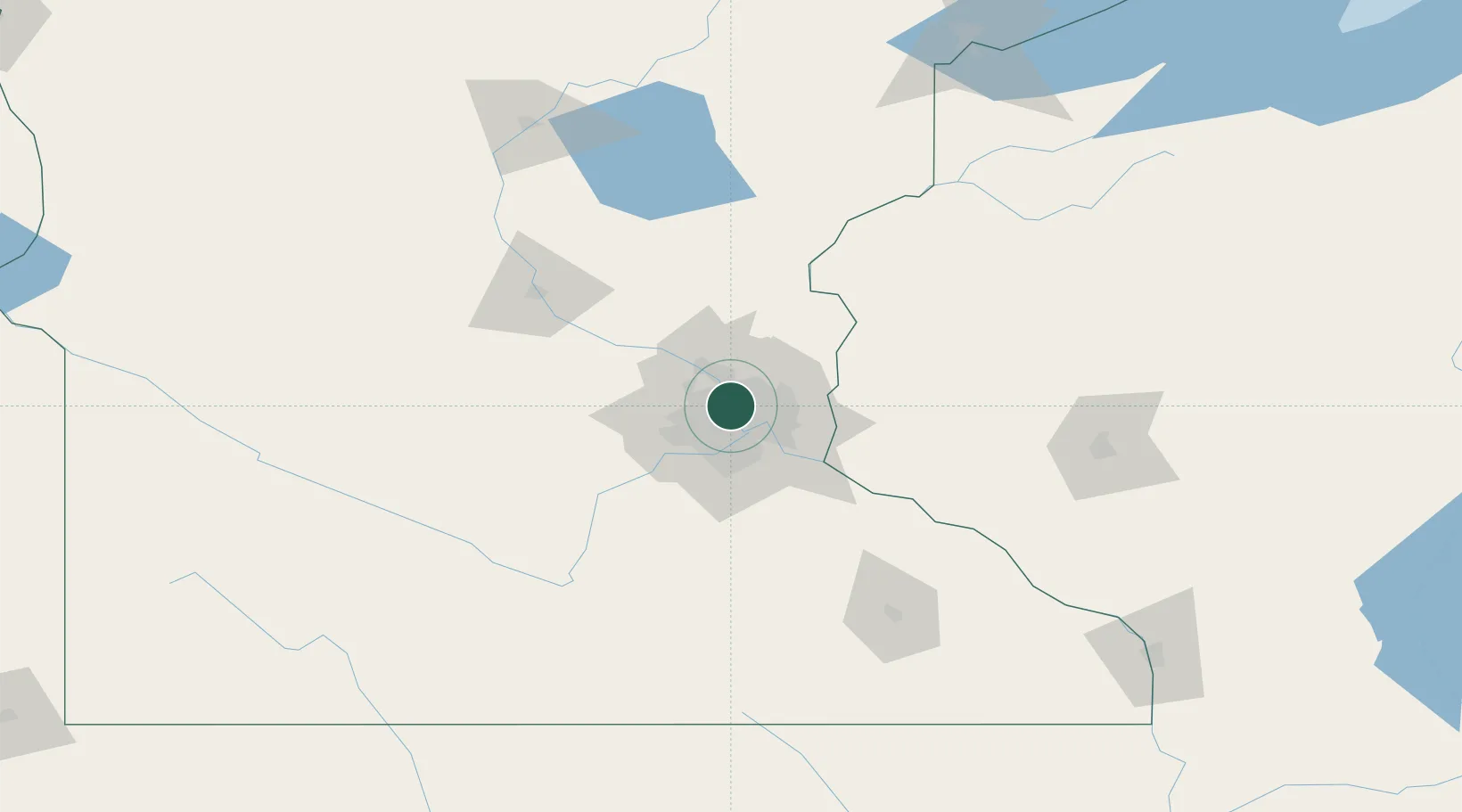
Hub Profile
Place type
Populated place
Region
Minnesota
Population
5,973
Time zone
America/Chicago
Elevation
323 m
Logistics facilities
1
Location
Nearby Logistics Neighbours
Cities
- 1Columbia Heights2 km
- 2Minneapolis3 km
- 3Spring Lake Park9 km
- 4Saint Paul10 km
- 5Fort Snelling16 km
Ports
- 1Superior211 km
- 2Duluth214 km
- 3Two Harbors254 km
- 4Ashland255 km
- 5Washburn260 km
Airports
Trade Zones
- 1FTZ No. 119 Minneapolis-St. Paul7 km
- 2FTZ No. 051 Duluth209 km
- 3FTZ No. 288 Northwest Iowa305 km
- 4FTZ No. 220 Sioux Falls325 km
- 5FTZ No. 267 Fargo351 km
DatabookThe Record of Consolidated Knowledge
United States beyond logistics?