UN/LOCODE hub · United States
USTSN

Fort Snelling

44.9000°, -93.1667°
2
Transport functions

Transport Functions

Port
Road
UN/LOCODE

Hub Profile

Region
MN
GeoNames

Location

Location of USTSN
Natural Earth 10m (public domain) · MN · USTSN · 44.90, -93.17GoogleOSMYandex

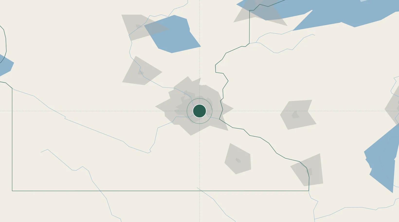
Nearby Logistics Neighbours

Cities
  1. 1Mendota Heights3 km
  2. 2Dawson6 km
  3. 3West Saint Paul6 km
  4. 4Saint Paul7 km
  5. 5South Saint Paul9 km
Nearest neighbours — logibook spatial index (haversine) over the source coordinates
Ports
  1. 1Superior221 km
  2. 2Duluth223 km
  3. 3Ashland260 km
  4. 4Two Harbors263 km
  5. 5Washburn264 km
Nearest neighbours — logibook spatial index (haversine) over the source coordinates
Trade Zones
  1. 1FTZ No. 119 Minneapolis-St. Paul10 km
  2. 2FTZ No. 051 Duluth219 km
  3. 3FTZ No. 288 Northwest Iowa302 km
  4. 4FTZ No. 220 Sioux Falls326 km
  5. 5FTZ No. 266 Dane County344 km
Nearest neighbours — logibook spatial index (haversine) over the source coordinates
DatabookThe Record of Consolidated Knowledge
United States beyond logistics?
Browse databook

All Sources

LocationsUN/LOCODE
UN/LOCODE — free
Portsthe NGA World Port Index
Public domain (US gov)
AirportsOurAirports
Public domain
Trade Zonesthe World Bank SEZ database
CC BY 4.0
Trade ZonesOpen Zone Map
CC BY
← United States locations