UN/LOCODE hub · United States
USUBQ
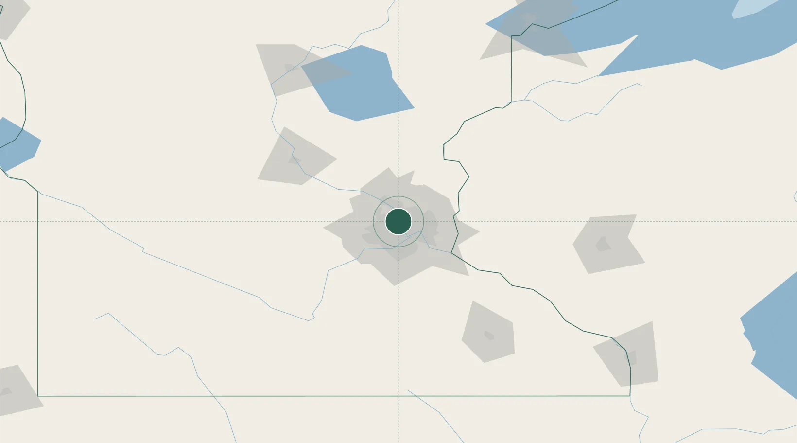
Columbia Heights
45.0333°, -93.2833°
19,715
Population
2
Transport functions
Transport Functions
Road
Multimodal
Hub Profile
Place type
Populated place
Region
Minnesota
Population
19,715
Time zone
America/Chicago
Elevation
281 m
Location
Nearby Logistics Neighbours
Cities
- 1Medina2 km
- 2Minneapolis5 km
- 3Spring Lake Park8 km
- 4Saint Paul11 km
- 5Circle Pines17 km
Ports
- 1Superior211 km
- 2Duluth213 km
- 3Two Harbors254 km
- 4Ashland256 km
- 5Washburn260 km
Airports
Trade Zones
- 1FTZ No. 119 Minneapolis-St. Paul8 km
- 2FTZ No. 051 Duluth209 km
- 3FTZ No. 288 Northwest Iowa305 km
- 4FTZ No. 220 Sioux Falls324 km
- 5FTZ No. 267 Fargo350 km
DatabookThe Record of Consolidated Knowledge
United States beyond logistics?