UN/LOCODE hub · United States
USSTP
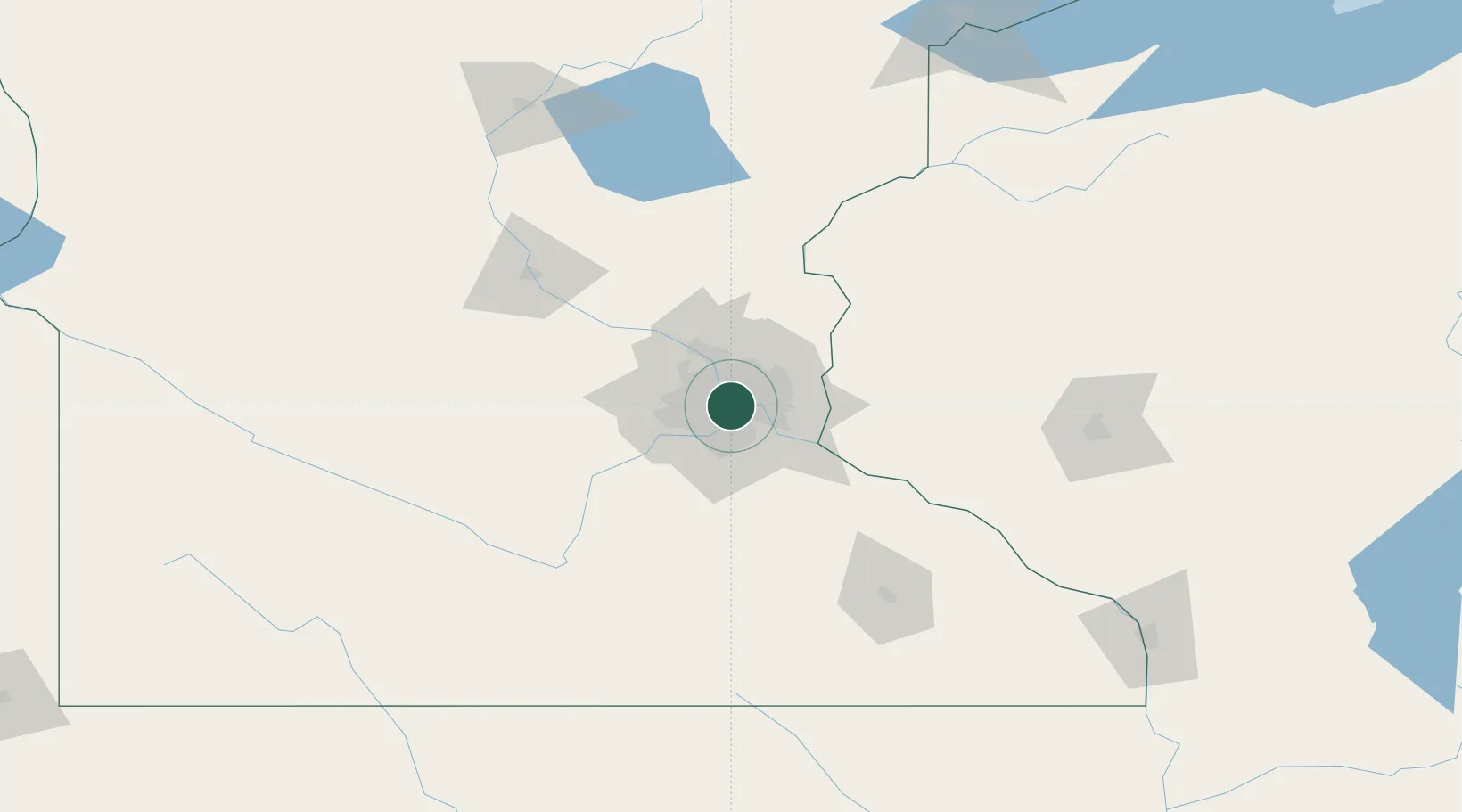
Saint Paul
44.9373°, -93.2356°
303,176
Population
3
Transport functions
Transport Functions
Port
Road
Airport
Hub Profile
Place type
Regional capital
Region
Minnesota
Population
303,176
Time zone
America/Chicago
Elevation
242 m
Logistics facilities
5
Location
Nearby Logistics Neighbours
Cities
- 1Fort Snelling7 km
- 2Minneapolis7 km
- 3Medina10 km
- 4Mendota Heights10 km
- 5Dawson11 km
Ports
- 1Superior219 km
- 2Duluth222 km
- 3Ashland261 km
- 4Two Harbors262 km
- 5Washburn265 km
Airports
Trade Zones
- 1FTZ No. 119 Minneapolis-St. Paul4 km
- 2FTZ No. 051 Duluth217 km
- 3FTZ No. 288 Northwest Iowa301 km
- 4FTZ No. 220 Sioux Falls323 km
- 5FTZ No. 175 Cedar Rapids350 km
DatabookThe Record of Consolidated Knowledge
United States beyond logistics?