Transport Functions
Rail
Road
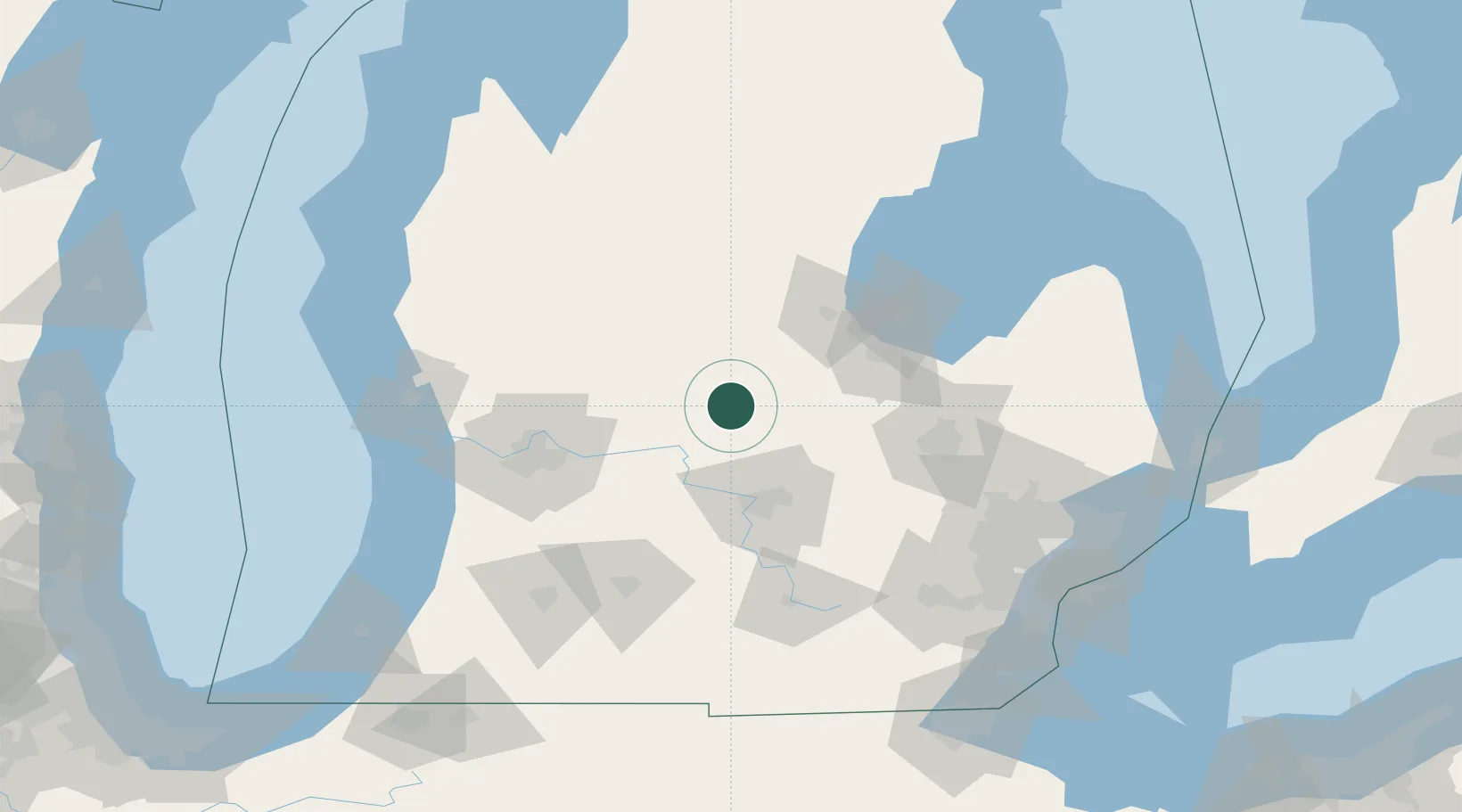
Hub Profile
Place type
Populated place
Region
Michigan
Time zone
America/Detroit
Elevation
226 m
Location
Nearby Logistics Neighbours
Cities
- 1White12 km
- 2Crystal18 km
- 3Sheridan30 km
- 4Cedar Lake32 km
- 5Wheeler32 km
Ports
- 1Saginaw68 km
- 2Bay City82 km
- 3Holland125 km
- 4Grand Haven125 km
- 5Muskegon127 km
Airports
Trade Zones
DatabookThe Record of Consolidated Knowledge
United States beyond logistics?