Transport Functions
Rail
Road
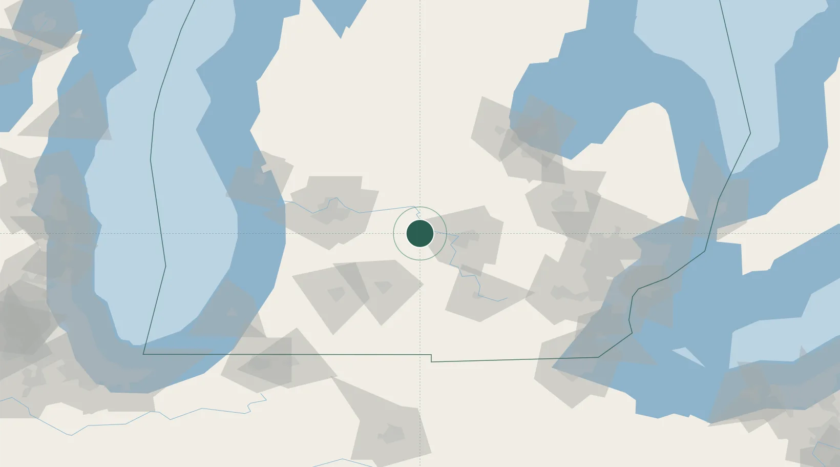
Hub Profile
Place type
Populated place
Region
Michigan
Population
558
Time zone
America/Detroit
Elevation
263 m
Location
Nearby Logistics Neighbours
Cities
- 1Potterville20 km
- 2Nashville24 km
- 3Saranac30 km
- 4Holt34 km
- 5East Leroy34 km
Ports
- 1Holland101 km
- 2Saginaw108 km
- 3Grand Haven114 km
- 4South Haven120 km
- 5Muskegon123 km
Airports
Trade Zones
DatabookThe Record of Consolidated Knowledge
United States beyond logistics?