UN/LOCODE hub · United States
USEQ4
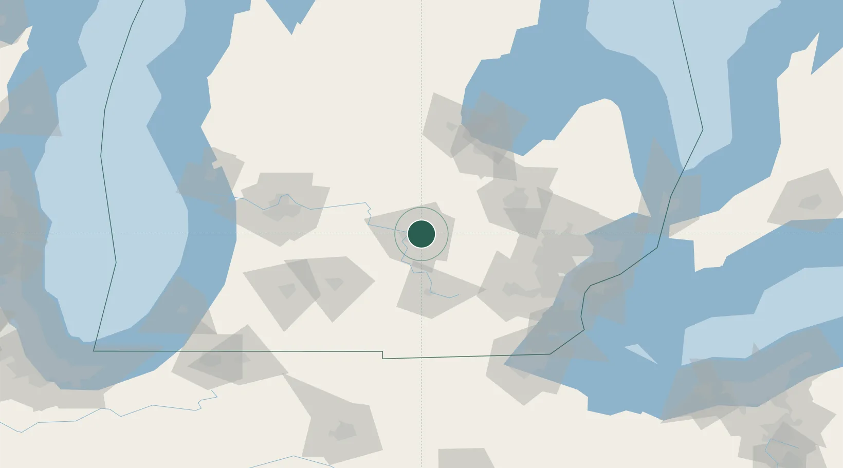
East Lansing
42.7333°, -84.4833°
48,471
Population
2
Transport functions
Transport Functions
Port
Multimodal
Hub Profile
Place type
Populated place
Region
Michigan
Population
48,471
Time zone
America/Detroit
Elevation
261 m
Location
Nearby Logistics Neighbours
Cities
- 1Okemos6 km
- 2Holt10 km
- 3Williamston17 km
- 4Potterville23 km
- 5Perry24 km
Airports
Trade Zones
- 1FTZ No. 101 Clinton County32 km
- 2FTZ No. 284 Genesee County51 km
- 3FTZ No. 140 Flint66 km
- 4FTZ No. 043 Battle Creek79 km
- 5FTZ No. 070 Detroit110 km
DatabookThe Record of Consolidated Knowledge
United States beyond logistics?