UN/LOCODE hub · United States
USVPL
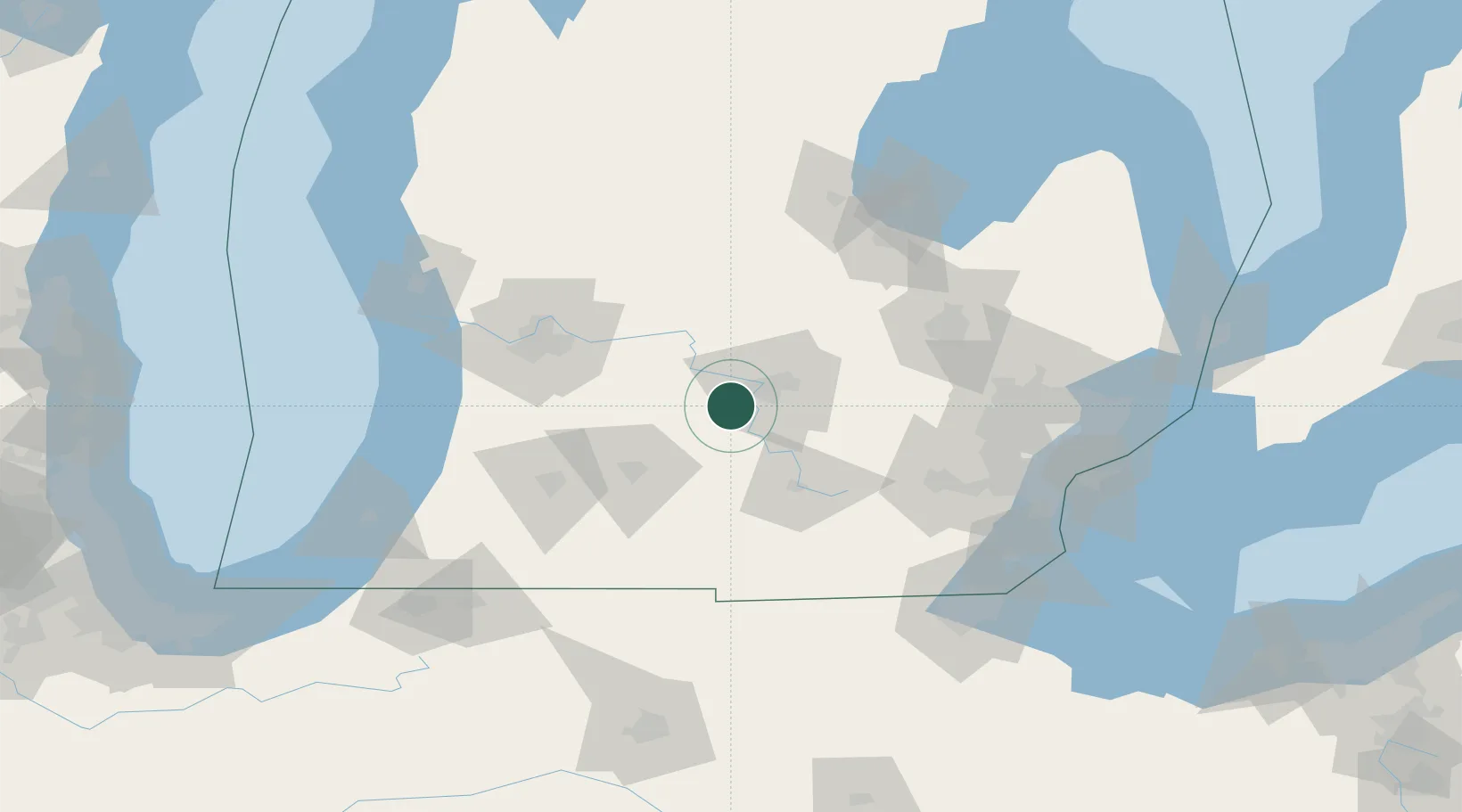
Potterville
42.6333°, -84.7333°
2,618
Population
3
Transport functions
Transport Functions
Rail
Road
Multimodal
Hub Profile
Place type
Populated place
Region
Michigan
Population
2,618
Time zone
America/Detroit
Elevation
274 m
Location
Nearby Logistics Neighbours
Cities
- 1Holt18 km
- 2Mulliken20 km
- 3East Lansing23 km
- 4Okemos28 km
- 5Nashville29 km
Ports
- 1Saginaw110 km
- 2Holland116 km
- 3Bay City129 km
- 4South Haven130 km
- 5Grand Haven131 km
Airports
Trade Zones
- 1FTZ No. 101 Clinton County35 km
- 2FTZ No. 043 Battle Creek55 km
- 3FTZ No. 284 Genesee County74 km
- 4FTZ No. 140 Flint89 km
- 5FTZ No. 070 Detroit126 km
DatabookThe Record of Consolidated Knowledge
United States beyond logistics?