Medium airport · Canada

Langley AirportCYNJ

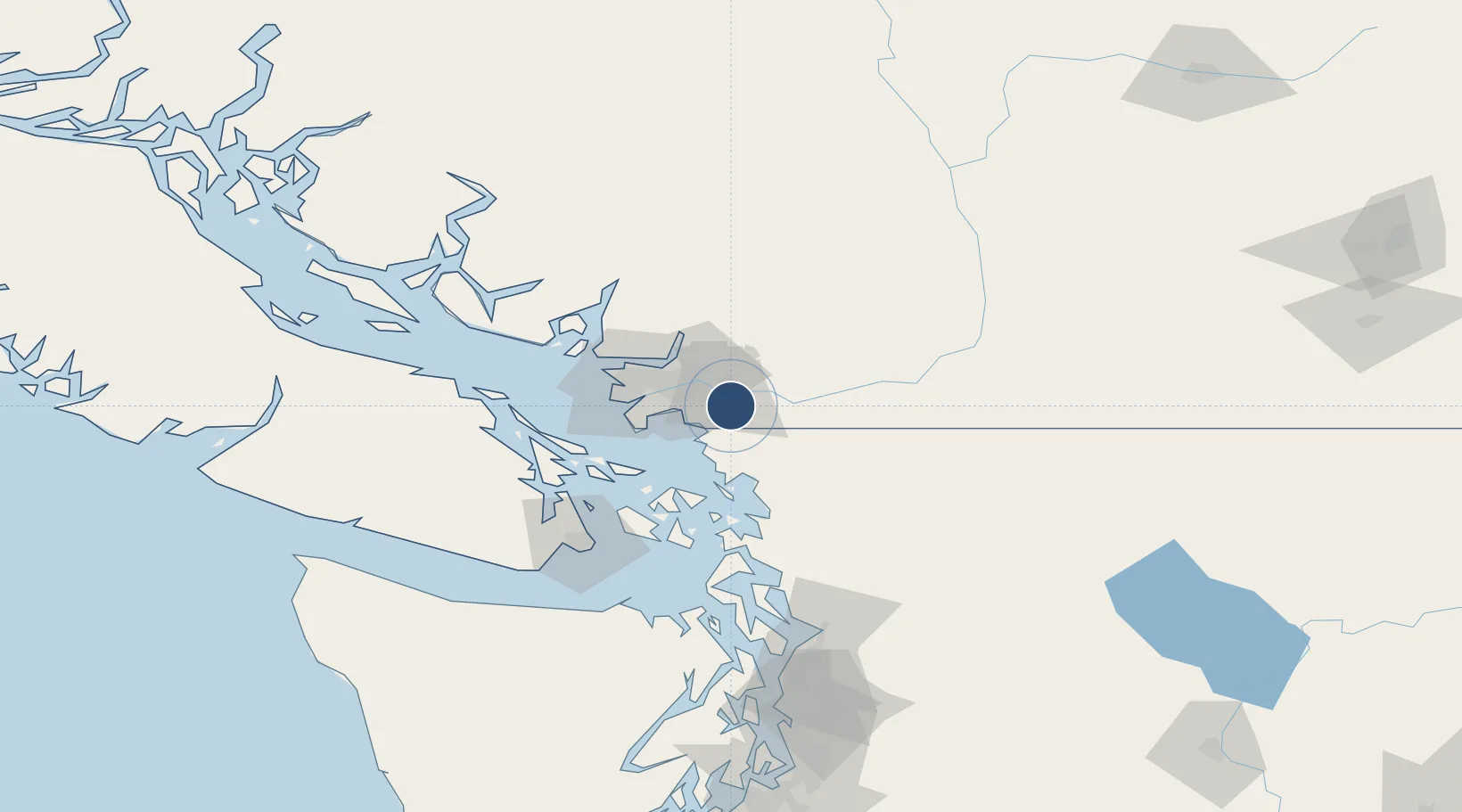
49.1008°, -122.6310°
2,743 ft
Longest runway
2
Runways
34 ft
Elevation

Runway & Layout

Langley Airport runway & taxiway layout
Runway & taxiway layout — OpenStreetMap (ODbL) / OurAirports

Radio Frequencies

ATIS
124.5 MHz
TWR
119 MHz
Langley Tower
GND
121.9 MHz
Langley Ground
OurAirports

Runways · 2

RunwayDimensions SurfaceTrue headingLit
07/25 2,743 × 75ft Asphalt
01/19 2,100 × 75ft ASPHALT
OurAirports

Airport Specifications

IATA code
YLY
OurAirports
ICAO code
CYNJ
OurAirports
Airport class
Medium airport
OurAirports
Scheduled service
No
OurAirports
Runway surface
Asphalt
OurAirports
Served city
Langley
OurAirports

Location

Location of CYNJ
Natural Earth 10m (public domain) · British Columbia · CYNJ · 49.10, -122.63GoogleOSMYandex

Nearby Logistics Neighbours

Airports
  1. 1Pitt Meadows Seaplane Base13 km
  2. 2Pitt Meadows Regional Airport14 km
  3. 3Abbotsford International Airport21 km
  4. 4Boundary Bay Airport28 km
  5. 5Bellingham International Airport35 km
Nearest neighbours — logibook spatial index (haversine) over the source coordinates
Cities
  1. 1Milner4 km
  2. 2Langley5 km
  3. 3Cloverdale8 km
  4. 4Fort Langley9 km
  5. 5Conquitlam20 km
Nearest neighbours — logibook spatial index (haversine) over the source coordinates
Ports
  1. 1Blaine14 km
  2. 2Port Coquitlam18 km
  3. 3Fraser Mills21 km
  4. 4New Westminster24 km
  5. 5Port Moody27 km
Nearest neighbours — logibook spatial index (haversine) over the source coordinates
Trade Zones
  1. 1FTZ No. 128 Whatcom County33 km
  2. 2FTZ Vancouver Island39 km
  3. 3FTZ No. 129 Bellingham39 km
  4. 4FTZ No. 085 Everett126 km
  5. 5FTZ No. 005 Seattle166 km
Nearest neighbours — logibook spatial index (haversine) over the source coordinates
DatabookThe Record of Consolidated Knowledge
Canada beyond logistics?
Browse databook

All Sources

AirportsOurAirports
Public domain
Portsthe NGA World Port Index
Public domain (US gov)
LocationsUN/LOCODE
UN/LOCODE — free
Trade Zonesthe World Bank SEZ database
CC BY 4.0
Trade ZonesOpen Zone Map
CC BY
InfrastructureOpenStreetMap
ODbL 1.0
← Canada airports