Foreign Trade Zone · United States

FTZ No. 087 Lake Charles Active
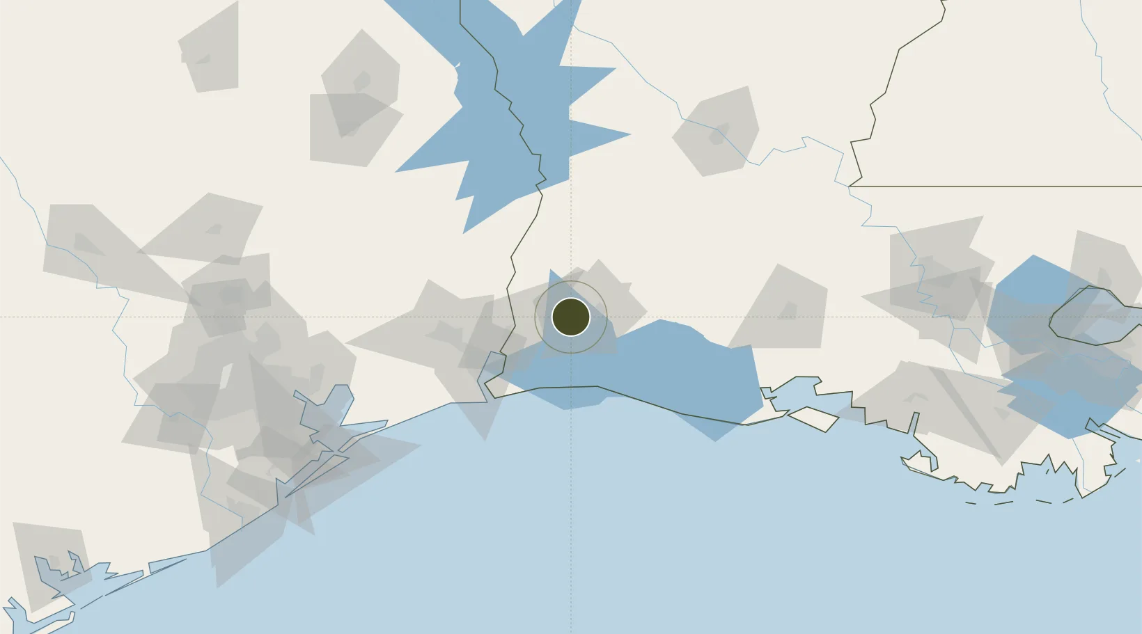
30.1983°, -93.3630°
11.0 km
Nearest port
15.6 km
Nearest airport

Gateway access

Nearest neighbours — logibook spatial index (haversine) over the source coordinates

Zone profile

Zone type
Foreign Trade Zone
Open Zone Map
Region
Louisiana
Open Zone Map
Status
Active
Open Zone Map
Management
Public
Open Zone Map
Operator
Lake Charles Harbor and Terminal District
Open Zone Map
Legal framework
Foreign-Trade Zones Act
Open Zone Map

Location

Location of ozm-4778
Natural Earth 10m (public domain) · Louisiana · ozm-4778 · 30.20, -93.36GoogleOSMYandex

Nearby Logistics Neighbours

Ports
  1. 1Lake Charles11 km
  2. 2Orange38 km
  3. 3Port Neches61 km
  4. 4Beaumont70 km
  5. 5Port Arthur71 km
Nearest neighbours — logibook spatial index (haversine) over the source coordinates
Airports
  1. 1Lake Charles Regional Airport16 km
  2. 2Jack Brooks Regional Airport69 km
  3. 3Beauregard Regional Airport71 km
  4. 4Polk Army Air Field96 km
  5. 5Lafayette Regional Airport132 km
Nearest neighbours — logibook spatial index (haversine) over the source coordinates
Cities
  1. 1Lake Charles11 km
  2. 2Vinton21 km
  3. 3DeQuincy29 km
  4. 4West Orange39 km
  5. 5Singer51 km
Nearest neighbours — logibook spatial index (haversine) over the source coordinates
Trade Zones
  1. 1FTZ No. 291 Cameron Parish49 km
  2. 2FTZ No. 117 Orange49 km
  3. 3FTZ No. 115 Beaumont81 km
  4. 4FTZ No. 116 Port Arthur82 km
  5. 5FTZ No. 171 Liberty County165 km
Nearest neighbours — logibook spatial index (haversine) over the source coordinates
DatabookThe Record of Consolidated Knowledge
United States beyond logistics?
Browse databook

All Sources

Trade ZonesOpen Zone Map
CC BY
Portsthe NGA World Port Index
Public domain (US gov)
AirportsOurAirports
Public domain
LocationsUN/LOCODE
UN/LOCODE — free
← United States trade zones