Transport Functions
Port
Multimodal
Hub Profile
Place type
Populated place
Region
Indiana
Time zone
America/Kentucky/Louisville
Elevation
286 m
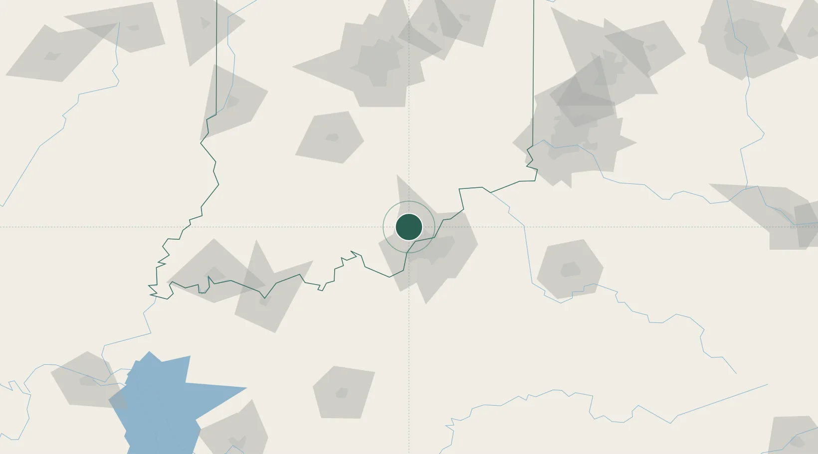
Location
Nearby Logistics Neighbours
Cities
- 1Speed12 km
- 2Lanesville21 km
- 3New Salisbury21 km
- 4Shively23 km
- 5Ramsey25 km
Ports
- 1Gary378 km
- 2Michigan City381 km
- 3Indiana Harbor386 km
- 4Calumet Harbor396 km
- 5Chicago414 km
Airports
Trade Zones
- 1FTZ No. 029 Louisville16 km
- 2FTZ No. 047 Boone County107 km
- 3FTZ No. 046 CIncinnati142 km
- 4FTZ No. 072 Indianapolis152 km
- 5FTZ No. 177 Evansville158 km
DatabookThe Record of Consolidated Knowledge
United States beyond logistics?