Medium airport · United States
Nenana Municipal AirportPANN
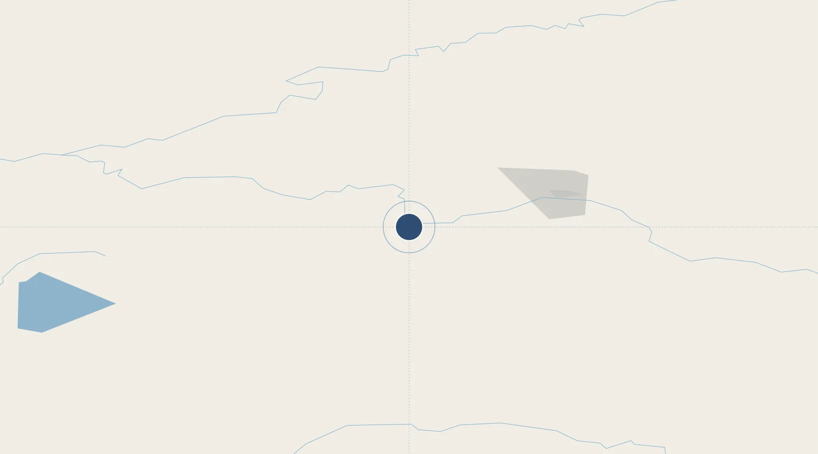
64.5488°, -149.0745°
4,600 ft
Longest runway
3
Runways
362 ft
Elevation
Runway & Layout

Radio Frequencies
ASOS
125.2 MHz
CTAF
122.1 MHz
A/D
125.35 MHz
FAIRBANKS APP/DEP
FSS
122.5 MHz
FAIRBANKS RDO
MISC
115.8 MHz
TWEB
Navaids
ENN VORTAC Nenana 115.80 MHz
ICW NDB Ice Pool 525 kHz
Runways · 3
| Runway | Dimensions | Surface | True heading | Lit |
|---|---|---|---|---|
| 04L/22R | 4,600 × 100ft | Asphalt | 059° | ✓ |
| 04W/22W | 3,601 × 100ft | Water | 056° | — |
| 04R/22L | 1,980 × 80ft | Grass | 059° | ✓ |
Airport Specifications
IATA code
ENN
ICAO code
PANN
Airport class
Medium airport
Scheduled service
No
Runway surface
Asphalt
Served city
Nenana
Location
Nearby Logistics Neighbours
Airports
- 1Clear Airport28 km
- 2Fairbanks International Airport65 km
- 3Minto Al Wright Airport68 km
- 4Healy River Airport76 km
- 5Ladd Army Airfield77 km
Cities
- 1Houston326 km
- 2Susitna343 km
- 3Port MacKenzie367 km
- 4Elmendorf Air Force Base369 km
- 5Anchorage371 km
Trade Zones
- 1FTZ No. 195 Fairbanks73 km
- 2FTZ No. 160 Anchorage370 km
- 3FTZ No. 108 Valdez404 km
- 4FTZ No. 232 Kodiak825 km
- 5PrInce George Logistics Park1884 km
DatabookThe Record of Consolidated Knowledge
United States beyond logistics?