Medium airport · United States
Eielson Air Force BasePAEI
64.6657°, -147.1020°
14,530 ft
Longest runway
1
Runways
547 ft
Elevation
Runway & Layout

Radio Frequencies
ATIS
27.35 MHz
ASOS
118.525 MHz
TWR
127.2 MHz
GND
121.8 MHz
CLD
34.37 MHz
CLNC DEL
APP
125.35 MHz
FAIRBANKS APP
DEP
126.5 MHz
FAIRBANKS DEP
INFO
125.3 MHz
RANGE CON
MISC
139.6 MHz
SOURDOUGH
OPS
25.95 MHz
IGLOO
PMSV
34.66 MHz
PMSV METRO
POST
23.81 MHz
CHENA CON
PTD
37.22 MHz
Navaids
EIL TACAN Eielson 115.10 MHz
Runways · 1
| Runway | Dimensions | Surface | True heading | Lit |
|---|---|---|---|---|
| 14/32 | 14,530 × 150ft | CONC | 159° | — |
Airport Specifications
IATA code
EIL
ICAO code
PAEI
Airport class
Medium airport
Scheduled service
No
Runway surface
CONC
Served city
Fairbanks
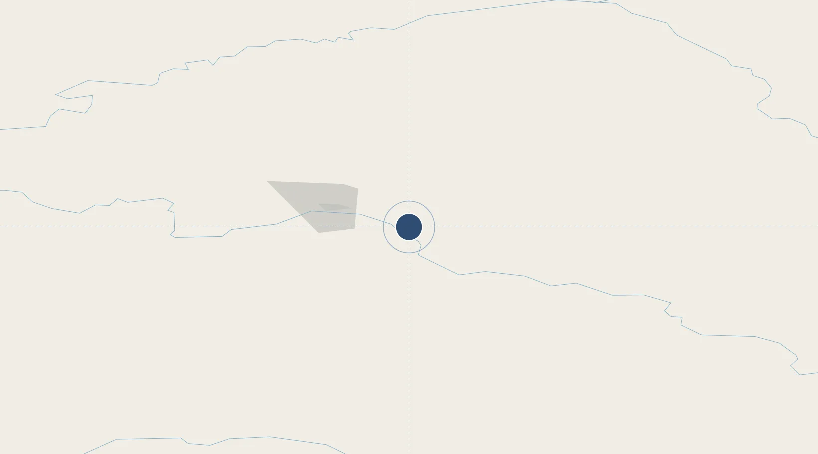
Location
Nearby Logistics Neighbours
Airports
- 1Ladd Army Airfield31 km
- 2Fairbanks International Airport39 km
- 3Nenana Municipal Airport95 km
- 4Allen Army Airfield100 km
- 5Clear Airport105 km
Cities
- 1Houston364 km
- 2Susitna388 km
- 3Valdez396 km
- 4Elmendorf Air Force Base404 km
- 5Port MacKenzie404 km
Trade Zones
- 1FTZ No. 195 Fairbanks35 km
- 2FTZ No. 108 Valdez395 km
- 3FTZ No. 160 Anchorage406 km
- 4FTZ No. 232 Kodiak873 km
- 5PrInce George Logistics Park1807 km
DatabookThe Record of Consolidated Knowledge
United States beyond logistics?