Medium airport · United States
Fairbanks International AirportPAFA
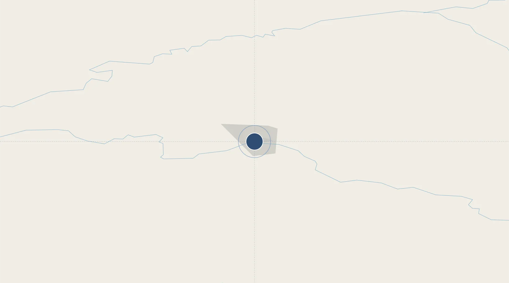
64.8151°, -147.8560°
11,800 ft
Longest runway
4
Runways
439 ft
Elevation
Runway & Layout

Radio Frequencies
ATIS
124.4 MHz
ASOS
119.025 MHz
AWOS
108.2 MHz
TWEB
TWR
118.3 MHz
GND
121.9 MHz
CLD
127.6 MHz
CLNC DEL
APP
118.6 MHz
DEP
32.71 MHz
FSS
122.6 MHz
RDO
MISC
125.3 MHz
EIELSON RANGE CON
UNIC
122.95 MHz
UNICOM
Navaids
FA NDB Wearr 510 kHz
FAI VORTAC Fairbanks 108.60 MHz
FOX NDB Fox 356 kHz
Runways · 4
| Runway | Dimensions | Surface | True heading | Lit |
|---|---|---|---|---|
| 02L/20R | 11,800 × 150ft | ASPH-G | 038° | — |
| 02W/20W | 5,400 × 100ft | Water | 038° | — |
| 02R/20L | 4,510 × 75ft | ASPH-G | 038° | — |
| 02/20 | 2,900 × 75ft | GRVL | 038° | — |
Airport Specifications
IATA code
FAI
ICAO code
PAFA
Airport class
Medium airport
Scheduled service
Yes
Runway surface
ASPH-G
Served city
Fairbanks
Location
Nearby Logistics Neighbours
Airports
- 1Ladd Army Airfield12 km
- 2Eielson Air Force Base39 km
- 3Nenana Municipal Airport65 km
- 4Minto Al Wright Airport80 km
- 5Clear Airport83 km
Cities
- 1Houston367 km
- 2Susitna388 km
- 3Port MacKenzie408 km
- 4Elmendorf Air Force Base408 km
- 5Anchorage411 km
Trade Zones
- 1FTZ No. 195 Fairbanks7 km
- 2FTZ No. 160 Anchorage411 km
- 3FTZ No. 108 Valdez416 km
- 4FTZ No. 232 Kodiak873 km
- 5PrInce George Logistics Park1847 km
DatabookThe Record of Consolidated Knowledge
United States beyond logistics?