Medium airport · United States
Ladd Army AirfieldPAFB
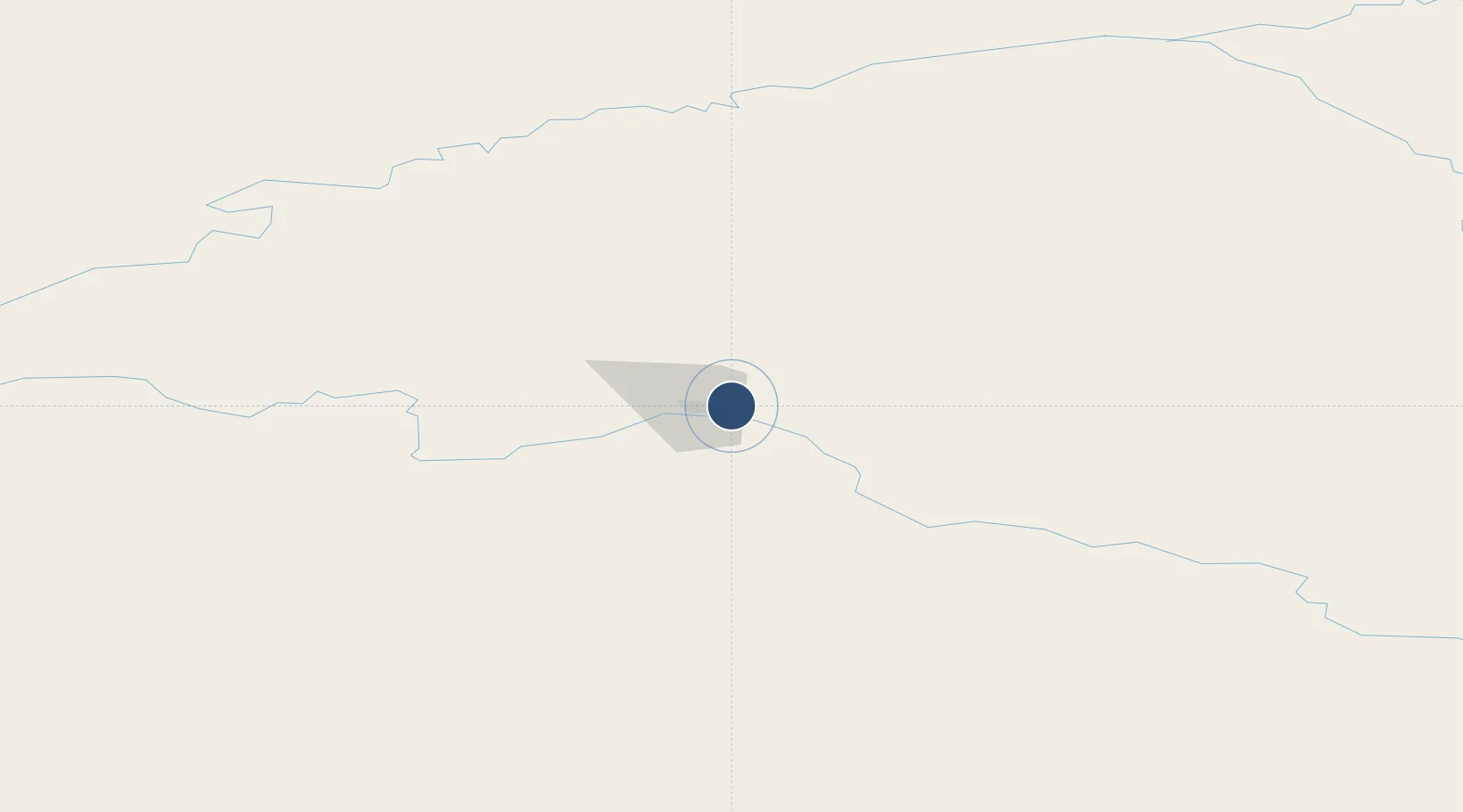
64.8375°, -147.6140°
8,575 ft
Longest runway
1
Runways
454 ft
Elevation
Runway & Layout

Radio Frequencies
ATIS
134.25 MHz
TWR
125 MHz
GND
121.7 MHz
APP
125.35 MHz
FAIRBANKS APP
DEP
125.35 MHz
FAIRBANKS DEP
CTAF
125 MHz
FSS
25.54 MHz
FAIRBANKS RDO
MISC
142.35 MHz
MEDIVAC OPS
OPS
118.9 MHz
BASE OPS
PMSV
128.8 MHz
PMSV METRO
Navaids
CUN NDB Chena 257 kHz
Runways · 1
| Runway | Dimensions | Surface | True heading | Lit |
|---|---|---|---|---|
| 07/25 | 8,575 × 150ft | ASPH-CONC | 089° | — |
Airport Specifications
IATA code
FBK
ICAO code
PAFB
Airport class
Medium airport
Scheduled service
No
Runway surface
ASPH-CONC
Served city
Fairbanks
Location
Nearby Logistics Neighbours
Airports
- 1Fairbanks International Airport12 km
- 2Eielson Air Force Base31 km
- 3Nenana Municipal Airport77 km
- 4Minto Al Wright Airport89 km
- 5Clear Airport93 km
Cities
- 1Houston373 km
- 2Susitna395 km
- 3Port MacKenzie414 km
- 4Elmendorf Air Force Base414 km
- 5Anchorage417 km
Trade Zones
- 1FTZ No. 195 Fairbanks5 km
- 2FTZ No. 160 Anchorage416 km
- 3FTZ No. 108 Valdez417 km
- 4FTZ No. 232 Kodiak880 km
- 5PrInce George Logistics Park1838 km
DatabookThe Record of Consolidated Knowledge
United States beyond logistics?