Channel & Berth Profile
Pilotage, Tugs & Services
Pilotage availableYES
Facilities & Capabilities
Container—
Ro-Ro—
Liquid bulk—
Dry bulk—
Oil terminal—
Break bulk—
Dry dock—
Repairs—
Bunkering—
Rail link—
Dangerous cargo—
ISPS security—
Harbour Specifications
Harbour size
Very Small
Harbour type
Coastal (Natural)
Shelter
Good
Water body
Gulf of Alaska; North Pacific Ocean
Tidal range
3 m
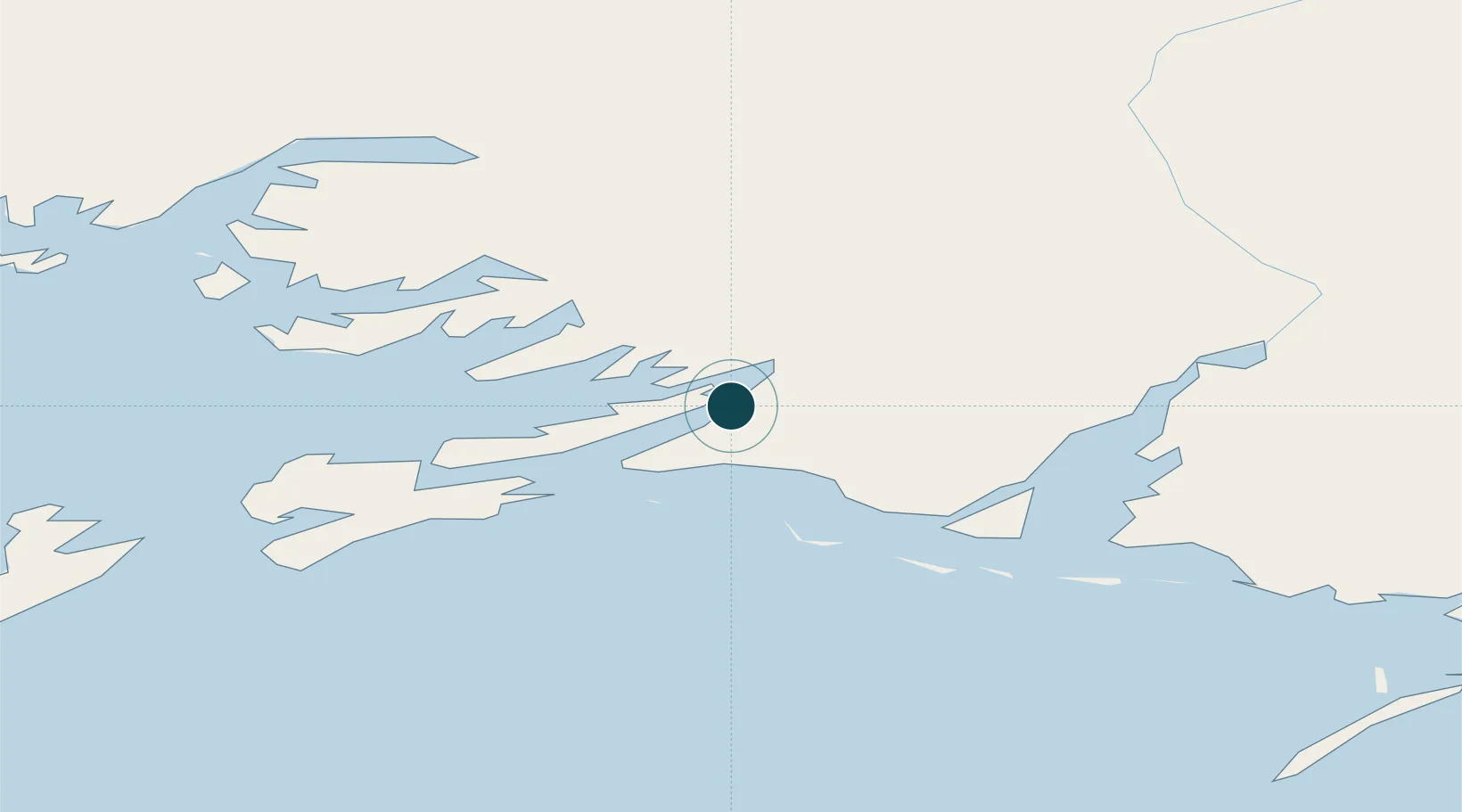
Location
Nearby Logistics Neighbours
Ports
- 1Cordova5 km
- 2Valdez66 km
- 3San Juan Cannery142 km
- 4Whittier164 km
- 5Seward211 km
Cities
- 1Cordova3 km
- 2Valdez68 km
- 3Elmendorf Air Force Base233 km
- 4Anchorage237 km
- 5Port MacKenzie239 km
Airports
- 1Merle K (Mudhole) Smith Airport17 km
- 2Tatitlek Airport62 km
- 3Valdez Pioneer Field68 km
- 4Chenega Bay Airport137 km
- 5Gulkana Airport175 km
Trade Zones
- 1FTZ No. 108 Valdez70 km
- 2FTZ No. 160 Anchorage237 km
- 3FTZ No. 195 Fairbanks485 km
- 4FTZ No. 232 Kodiak571 km
- 5PrInce George Logistics Park1556 km
DatabookThe Record of Consolidated Knowledge
United States beyond logistics?