Medium airport · United States

Grand Forks International AirportKGFK
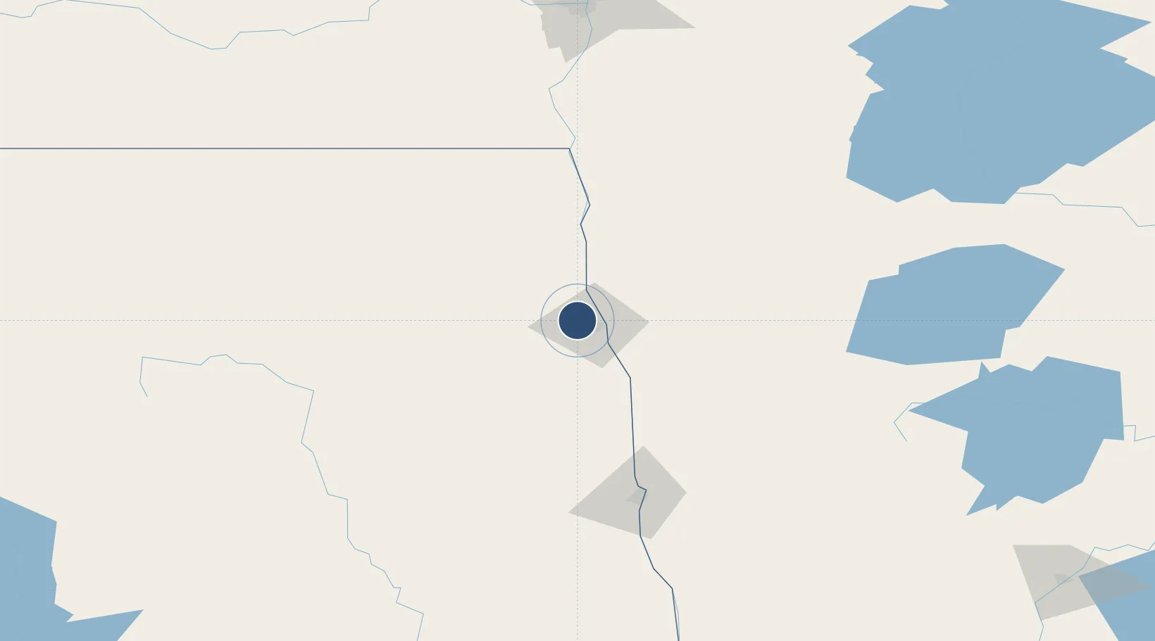
47.9493°, -97.1761°
7,351 ft
Longest runway
4
Runways
845 ft
Elevation

Runway & Layout

Grand Forks International Airport runway & taxiway layout
Runway & taxiway layout — OpenStreetMap (ODbL) / OurAirports

Radio Frequencies

ATIS
119.4 MHz
TWR
118.4 MHz
Grand Forks Tower
GND
124.575 MHz
CTAF
118.4 MHz
A/D
118.1 MHz
APP/DEP
RDO
122.2 MHz
UNIC
122.95 MHz
UNICOM
OurAirports

Navaids

GF NDB Hiser 345 kHz
GFK VOR-DME Grand Forks 114.30 MHz
OurAirports

Runways · 4

RunwayDimensions SurfaceTrue headingLit
17R/35L 7,351 × 150ft Asphalt 180°
09L/27R 6,701 × 100ft CONC-G 090°
17L/35R 3,901 × 75ft Concrete 180°
09R/27L 3,300 × 60ft Concrete 090°
OurAirports

Airport Specifications

IATA code
GFK
OurAirports
ICAO code
KGFK
OurAirports
Airport class
Medium airport
OurAirports
Scheduled service
Yes
OurAirports
Runway surface
Asphalt
OurAirports
Served city
Grand Forks
OurAirports

Location

Location of KGFK
Natural Earth 10m (public domain) · North Dakota · KGFK · 47.95, -97.18GoogleOSMYandex

Nearby Logistics Neighbours

Airports
  1. 1Grand Forks Air Force Base17 km
  2. 2Thief River Falls Regional Airport75 km
  3. 3Hector International Airport118 km
  4. 4Devils Lake Regional Airport130 km
  5. 5Jamestown Regional Airport160 km
Nearest neighbours — logibook spatial index (haversine) over the source coordinates
Cities
  1. 1Alvarado30 km
  2. 2Larimore35 km
  3. 3Buxton40 km
  4. 4Warren40 km
  5. 5Hatton41 km
Nearest neighbours — logibook spatial index (haversine) over the source coordinates
Ports
  1. 1Duluth404 km
  2. 2Superior408 km
  3. 3Two Harbors428 km
  4. 4Washburn495 km
  5. 5Bayfield496 km
Nearest neighbours — logibook spatial index (haversine) over the source coordinates
Trade Zones
  1. 1FTZ No. 103 Grand Forks4 km
  2. 2FTZ No. 267 Fargo123 km
  3. 3FTZ No. 259 Koochiching County215 km
  4. 4Winnipegs Centreport Canada216 km
  5. 5FTZ No. 051 Duluth394 km
Nearest neighbours — logibook spatial index (haversine) over the source coordinates
DatabookThe Record of Consolidated Knowledge
United States beyond logistics?
Browse databook

All Sources

AirportsOurAirports
Public domain
Portsthe NGA World Port Index
Public domain (US gov)
LocationsUN/LOCODE
UN/LOCODE — free
Trade Zonesthe World Bank SEZ database
CC BY 4.0
Trade ZonesOpen Zone Map
CC BY
InfrastructureOpenStreetMap
ODbL 1.0
← United States airports