Transport Functions
Road
Multimodal
Hub Profile
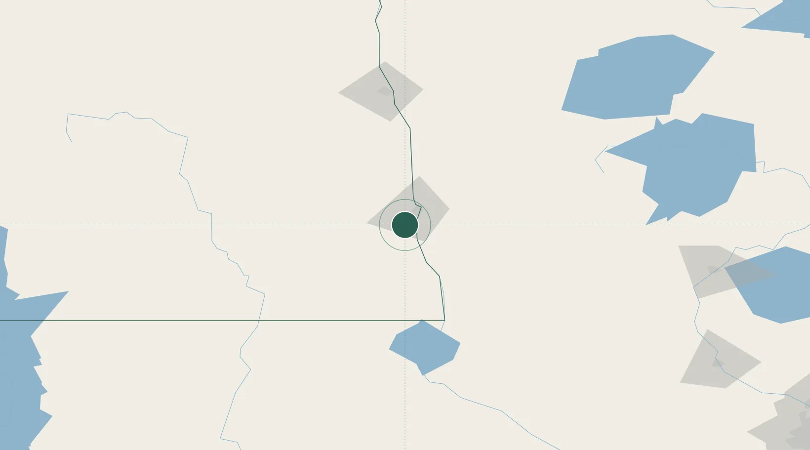
Place type
Populated place
Region
North Dakota
Population
2,545
Time zone
America/Chicago
Elevation
279 m
Location
Nearby Logistics Neighbours
Cities
- 1Brushvale48 km
- 2Grandin52 km
- 3Lake Park64 km
- 4Ada66 km
- 5Pelican Rapids66 km
Ports
- 1Duluth366 km
- 2Superior368 km
- 3Two Harbors400 km
- 4Washburn459 km
- 5Ashland461 km
Airports
- 1Hector International Airport18 km
- 2Grand Forks International Airport133 km
- 3Jamestown Regional Airport136 km
- 4Grand Forks Air Force Base138 km
- 5Chandler Field153 km
Trade Zones
- 1FTZ No. 267 Fargo11 km
- 2FTZ No. 103 Grand Forks129 km
- 3FTZ No. 259 Koochiching County257 km
- 4FTZ No. 119 Minneapolis-St. Paul347 km
- 5Winnipegs Centreport Canada348 km
DatabookThe Record of Consolidated Knowledge
United States beyond logistics?