Transport Functions
Road
Multimodal
Hub Profile
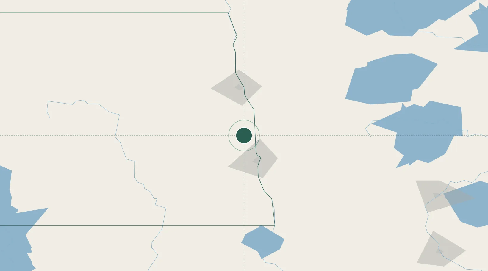
Place type
Populated place
Region
North Dakota
Population
174
Time zone
America/Chicago
Elevation
273 m
Location
Nearby Logistics Neighbours
Ports
- 1Duluth375 km
- 2Superior378 km
- 3Two Harbors405 km
- 4Washburn468 km
- 5Ashland471 km
Airports
Trade Zones
- 1FTZ No. 267 Fargo42 km
- 2FTZ No. 103 Grand Forks77 km
- 3FTZ No. 259 Koochiching County232 km
- 4Winnipegs Centreport Canada296 km
- 5FTZ No. 051 Duluth364 km
DatabookThe Record of Consolidated Knowledge
United States beyond logistics?