Transport Functions
Rail
Road
Multimodal
Hub Profile
Place type
Provincial seat
Region
Minnesota
Population
1,656
Time zone
America/Chicago
Elevation
276 m
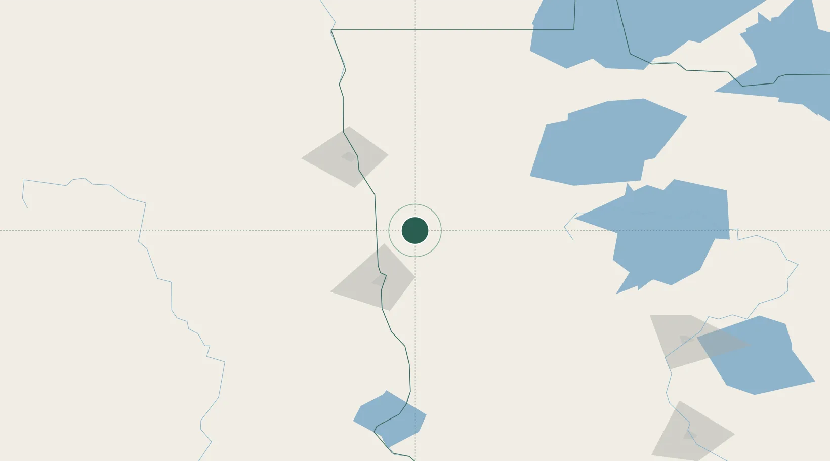
Location
Nearby Logistics Neighbours
Ports
- 1Duluth340 km
- 2Superior343 km
- 3Two Harbors369 km
- 4Washburn433 km
- 5Bayfield435 km
Airports
Trade Zones
- 1FTZ No. 267 Fargo60 km
- 2FTZ No. 103 Grand Forks84 km
- 3FTZ No. 259 Koochiching County197 km
- 4Winnipegs Centreport Canada292 km
- 5FTZ No. 051 Duluth329 km
DatabookThe Record of Consolidated Knowledge
United States beyond logistics?