Transport Functions
Rail
Road
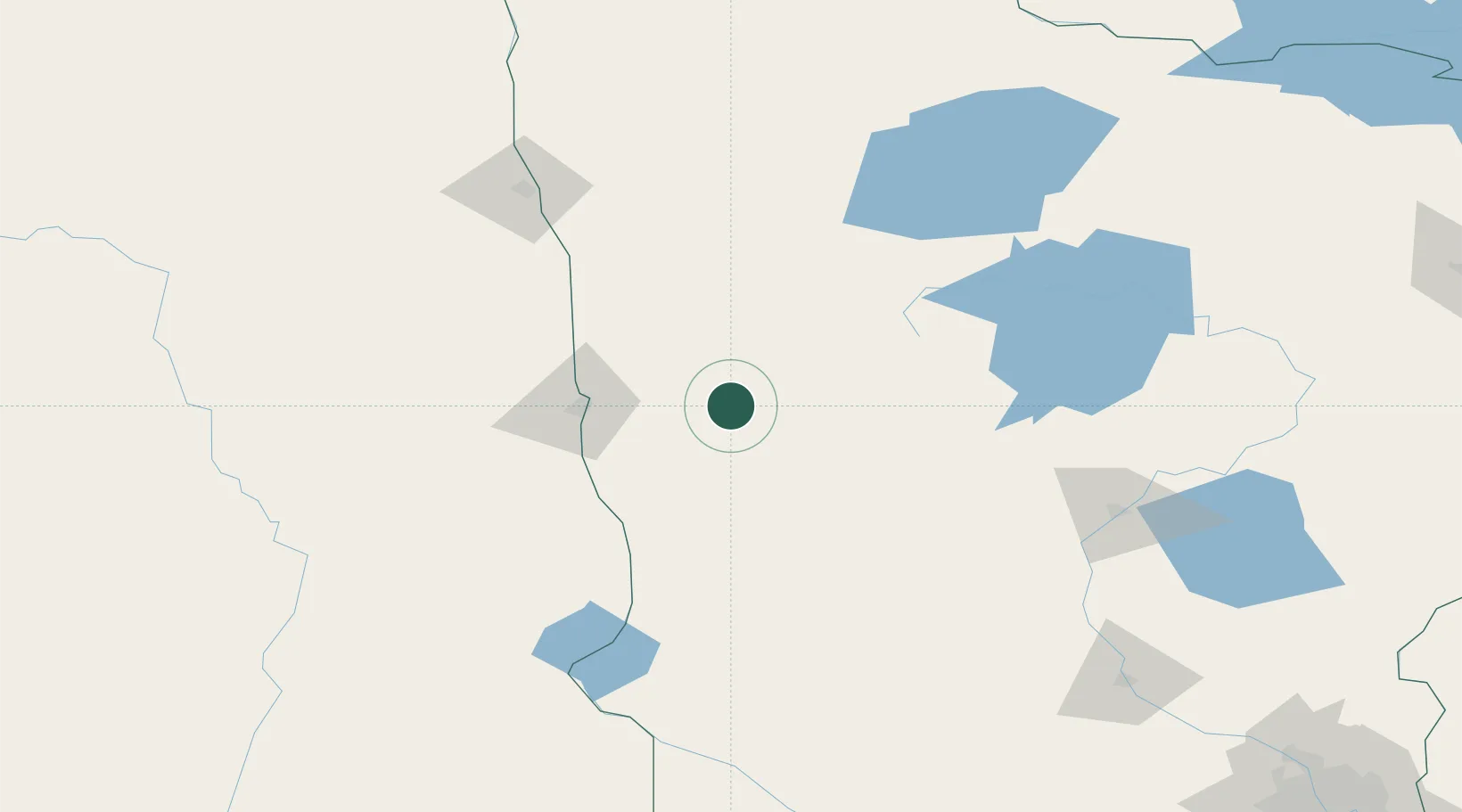
Hub Profile
Place type
Populated place
Region
Minnesota
Population
779
Time zone
America/Chicago
Elevation
410 m
Location
Nearby Logistics Neighbours
Cities
- 1Pelican Rapids35 km
- 2Mahnomen47 km
- 3Ponsford54 km
- 4Ada57 km
- 5Horace64 km
Ports
- 1Duluth303 km
- 2Superior306 km
- 3Two Harbors337 km
- 4Washburn397 km
- 5Ashland399 km
Airports
- 1Hector International Airport56 km
- 2Bemidji Regional Airport111 km
- 3Chandler Field125 km
- 4Thief River Falls Regional Airport132 km
- 5Grand Forks International Airport144 km
Trade Zones
- 1FTZ No. 267 Fargo67 km
- 2FTZ No. 103 Grand Forks141 km
- 3FTZ No. 259 Koochiching County204 km
- 4FTZ No. 051 Duluth292 km
- 5FTZ No. 119 Minneapolis-St. Paul306 km
DatabookThe Record of Consolidated Knowledge
United States beyond logistics?